In early February, I went on a 3-day/2-night thru-hike of the Kohechi route of Kumano Kodo.
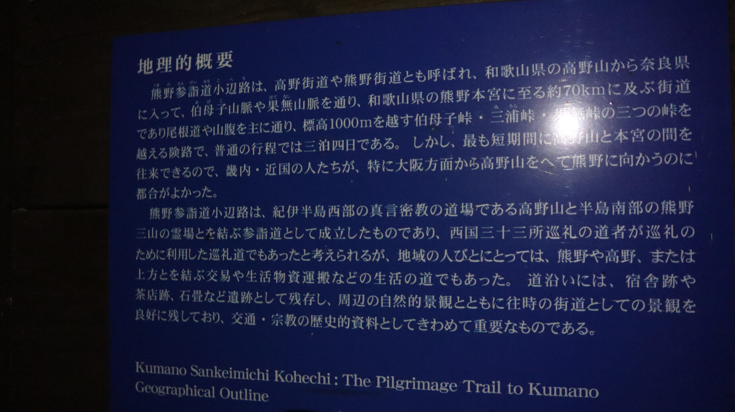
First, about the Kumano Kodo.
There are only two pilgrimage routes that are registered as World Heritage sites.
One is the Santiago pilgrimage route in Spain and France, and the other is the Kumano Kodo in Japan.
National Scenic Trails, such as the PCT, CDT, and AT in the United States, are trails designed primarily for scenic enjoyment.
The Shinetsu Trail in Japan is also modeled after such American National Scenic Trails.
On the other hand, the number of trails related to religion and culture is quite small, even when looking at the world.
I have been interested in the Kumano Kodo for a long time and have wanted to walk it someday when I have time.
I have always been interested in the Kumano Kodo because it is a path walked by merchants (entrepreneurs), it has its roots in Japanese mountain worship, and it is a World Heritage site.
The opportunity to walk, sleep, eat, and “live” in a World Heritage site is truly precious.
There are two aspects to the Kumano Kodo.
One is that it is a path for pilgrims to walk from various places to Kumano Hongu Shrine, the so-called goal point.
The other is that it is a route for merchants who purchase goods around Kumano Hongu Shrine and in the south of the Kii Peninsula and sell them in Koyasan.
The Kohechi route, which I walked this time, was built for the latter purpose, connecting Kumano Hongu Shrine and Koyasan by the shortest route.
In the old days, there was no such thing as an ’employee’ belonging to an organization like ‘company’, and most merchants were considered to be self employed, or entrepreneurs.
What kind of goods did they purchase, where did they rest, with whom did they interact, and how did they transport their goods to Koyasan?
With these thoughts in mind, I walked along the trail.
Now, here is the record of this trip.
Day 1
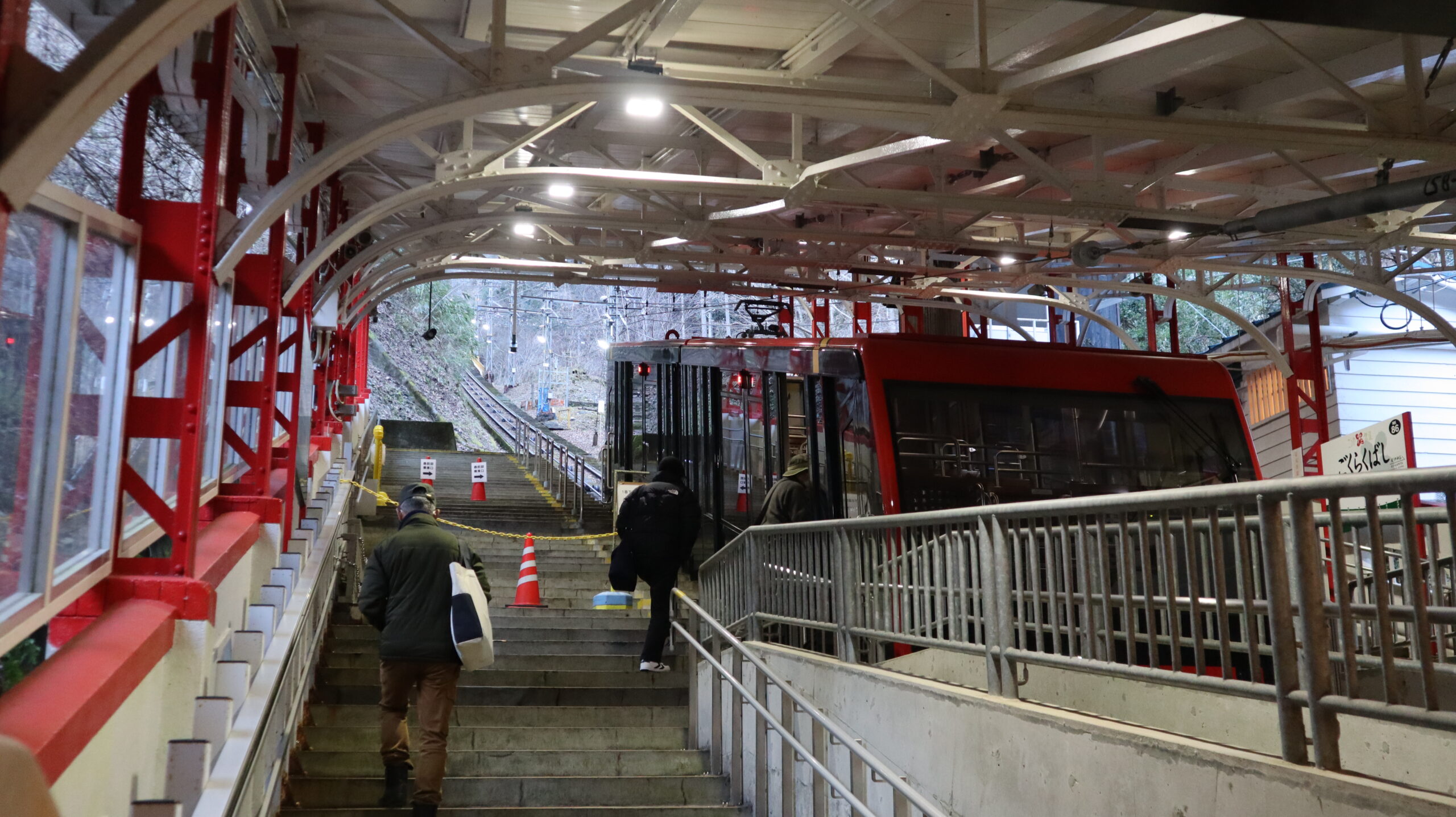
Took the train from Kyoto to Gokurakubashi Station, and from there took the cable car to Koyasan.
Arriving at Koyasan at 9:00 a.m., I strolled around the town for about an hour.
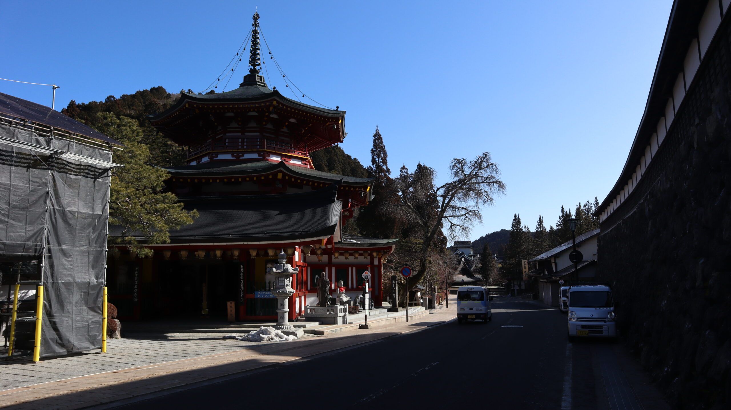
A religious city built at an altitude of 800 meters. This is the perfect description of the atmosphere.
More than 1,000 years ago, Kukai (空海) built a dojo for monks here, which became a sanctuary.
At 10:00 a.m., Kumano Kodo, Kohechi route starts.
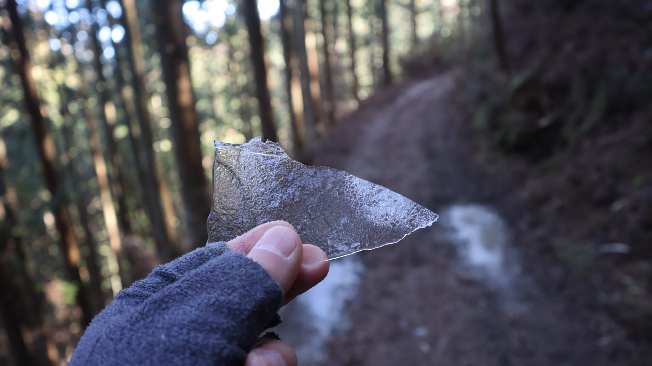
There is still snow and ice on the ground, probably due to the reasonable altitude.
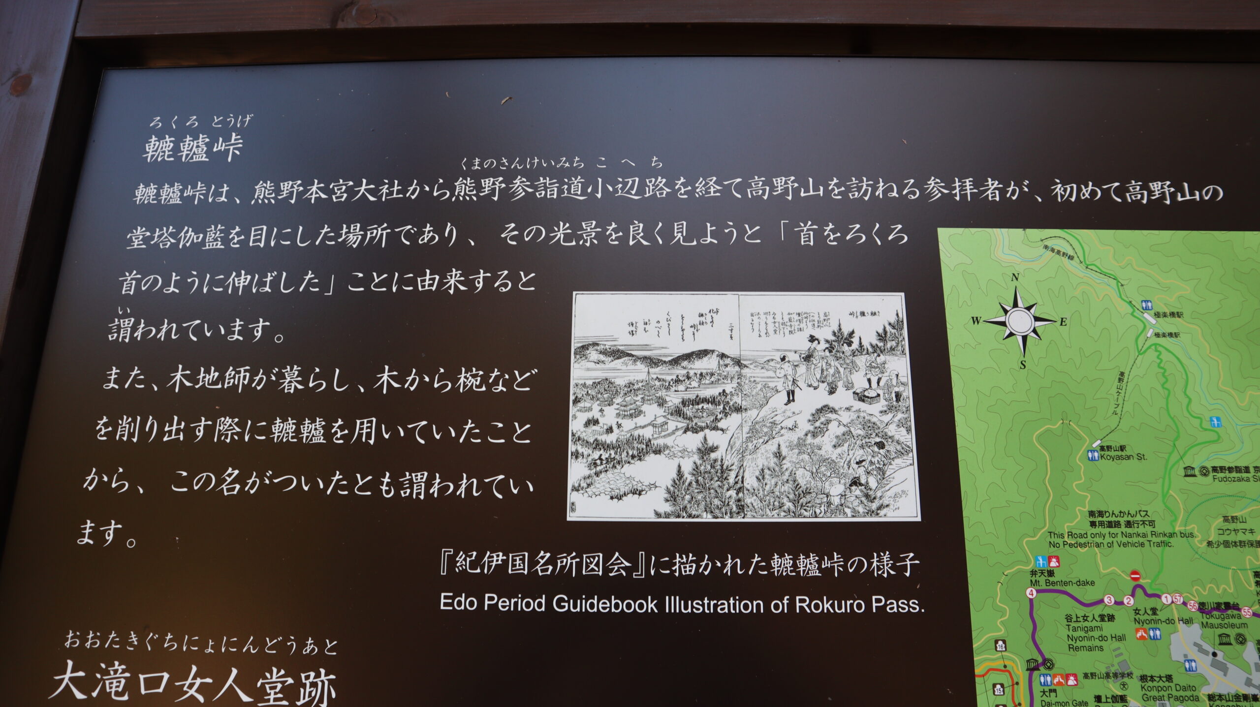
Koyasan is the goal for merchants walking from Kumano Hongu.
The Rokuro pass was named after the merchants who first visited Koyasan, and from here they could see the scenery of the town with their necks lengthened.
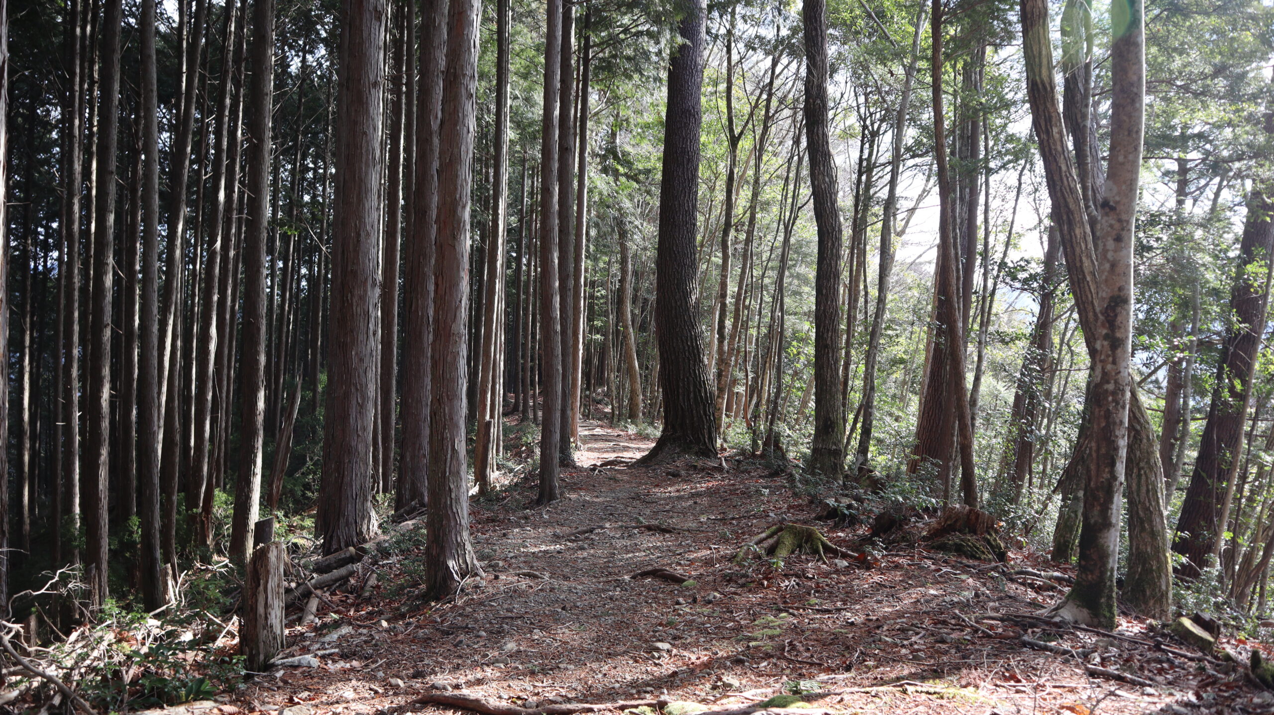
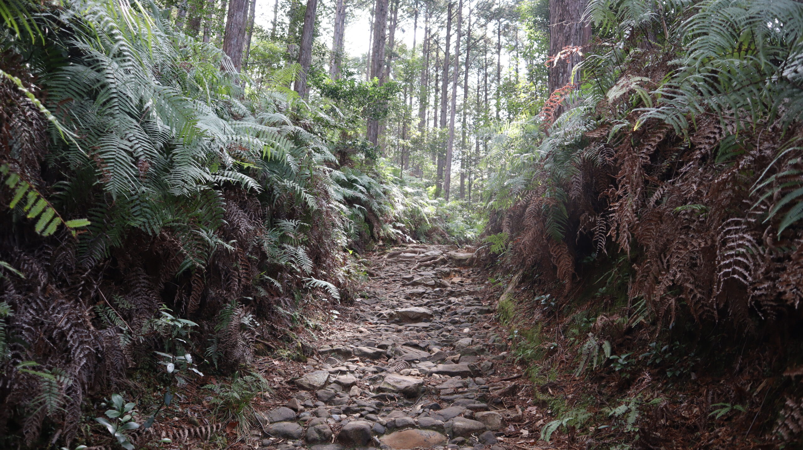
There are many things in Kohechi that spell out this kind of history, and walking around the area sometimes makes you feel as if you have slipped back in time to that era.
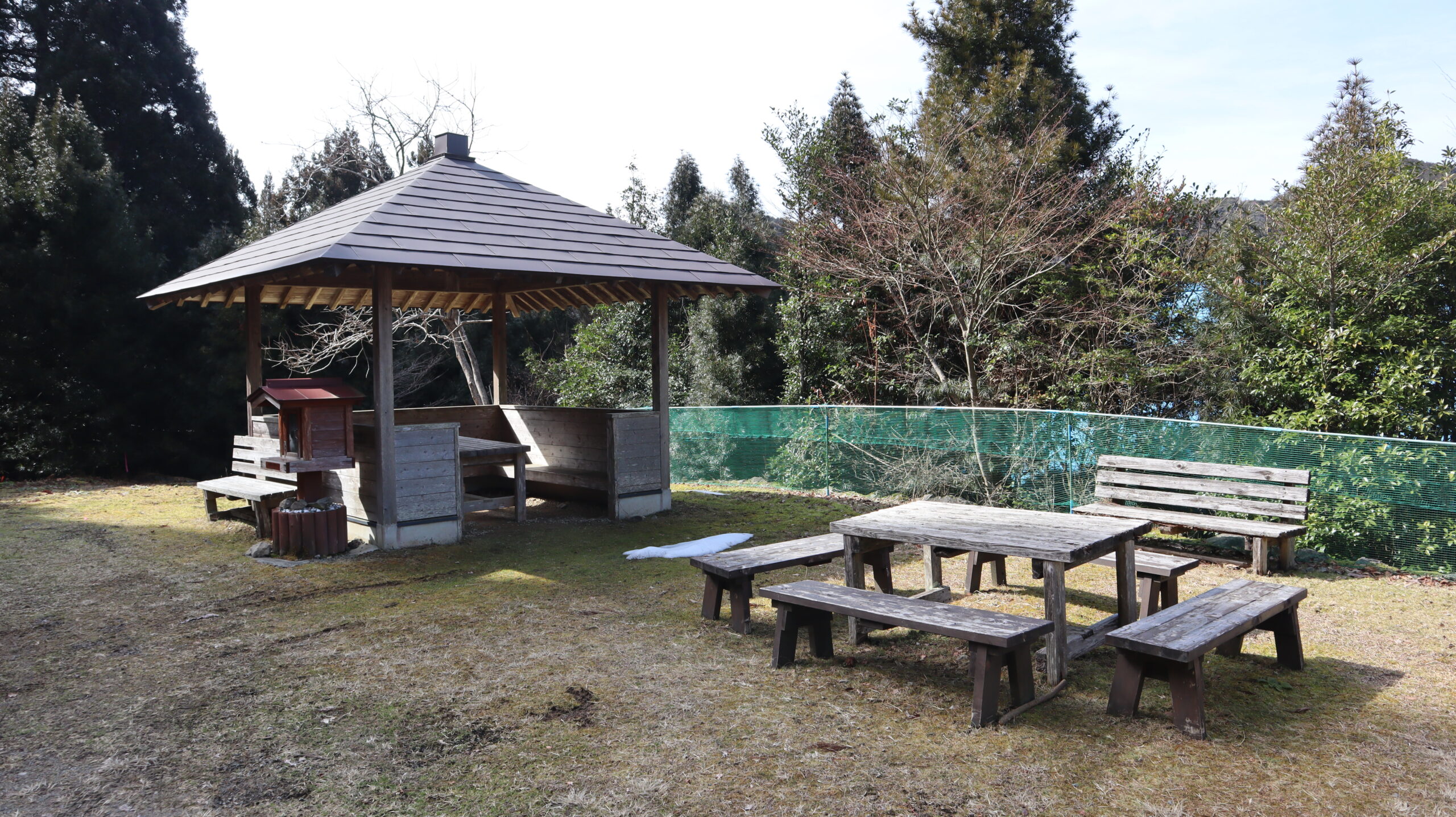
Took a break at a pavilion along the way.
When it is raining, it is nice to have a roof over the pavilion.
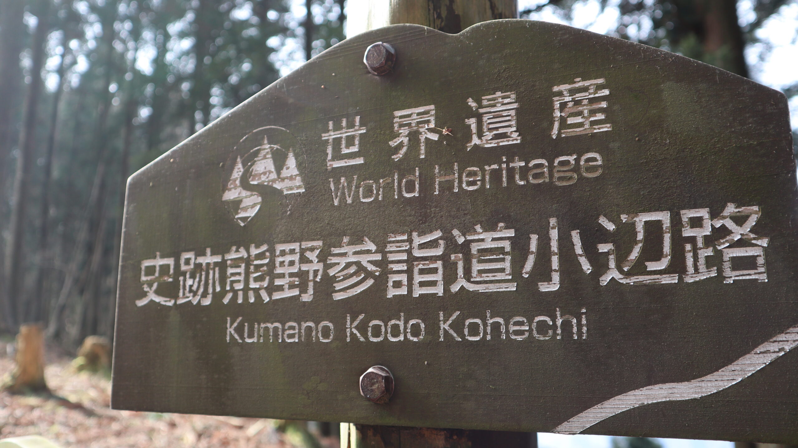
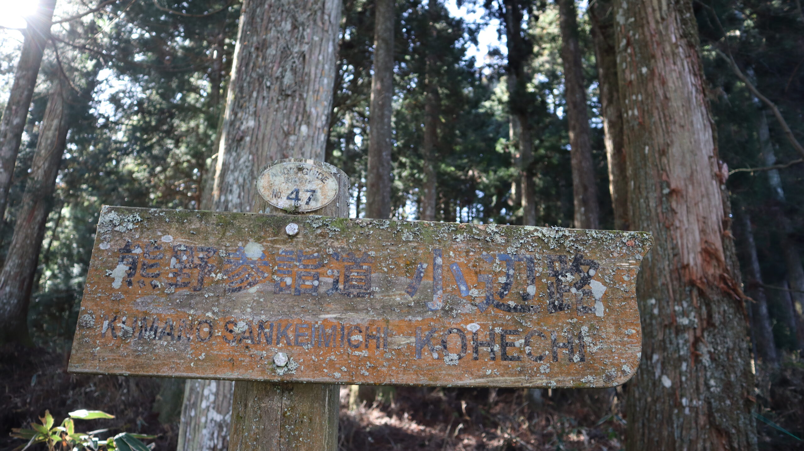
I saw this sign from time to time.
It is a reminder that I’m walking through a World Heritage site right now.
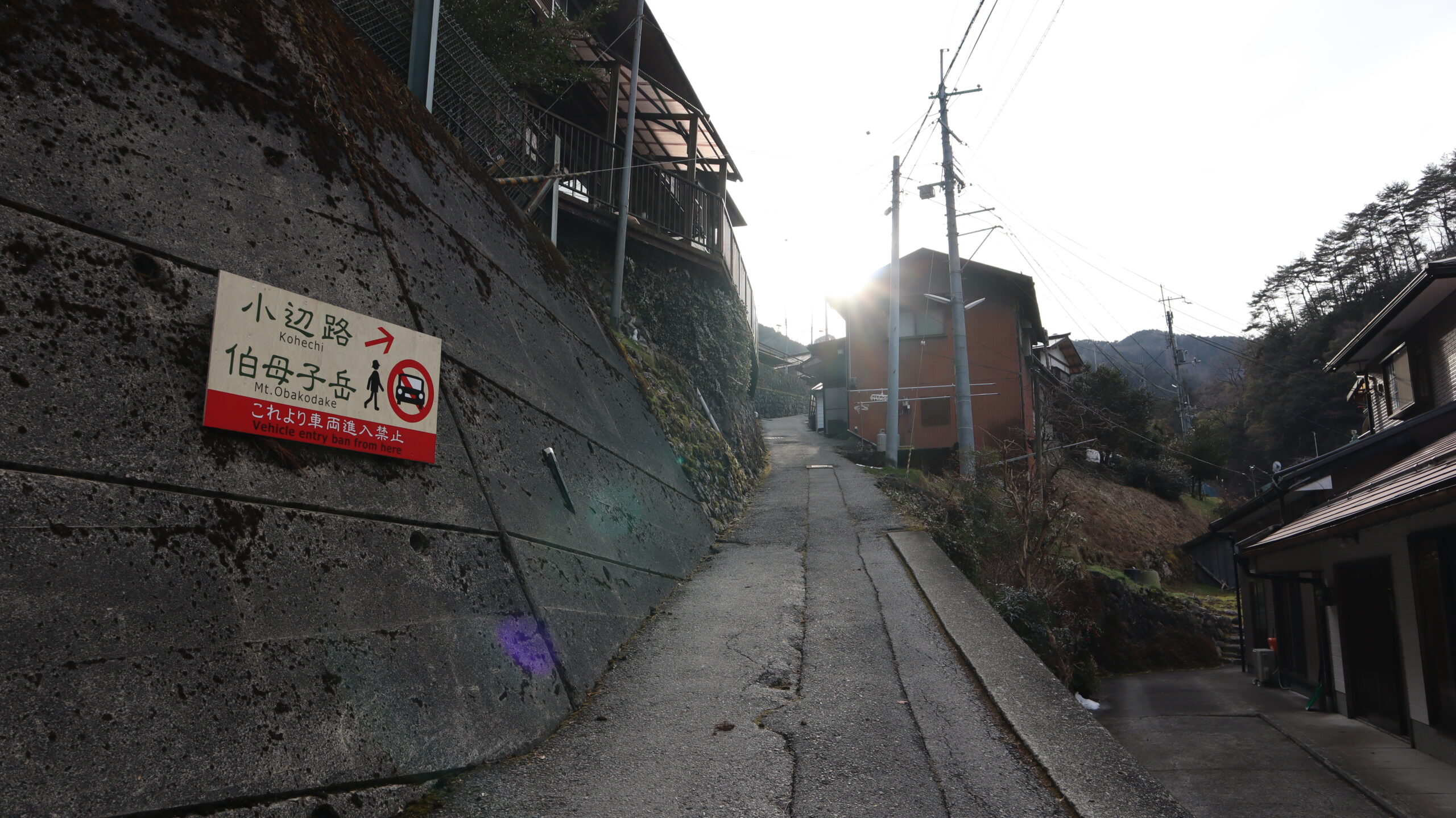
Once down in the village, then aim for Mount Obokodake.
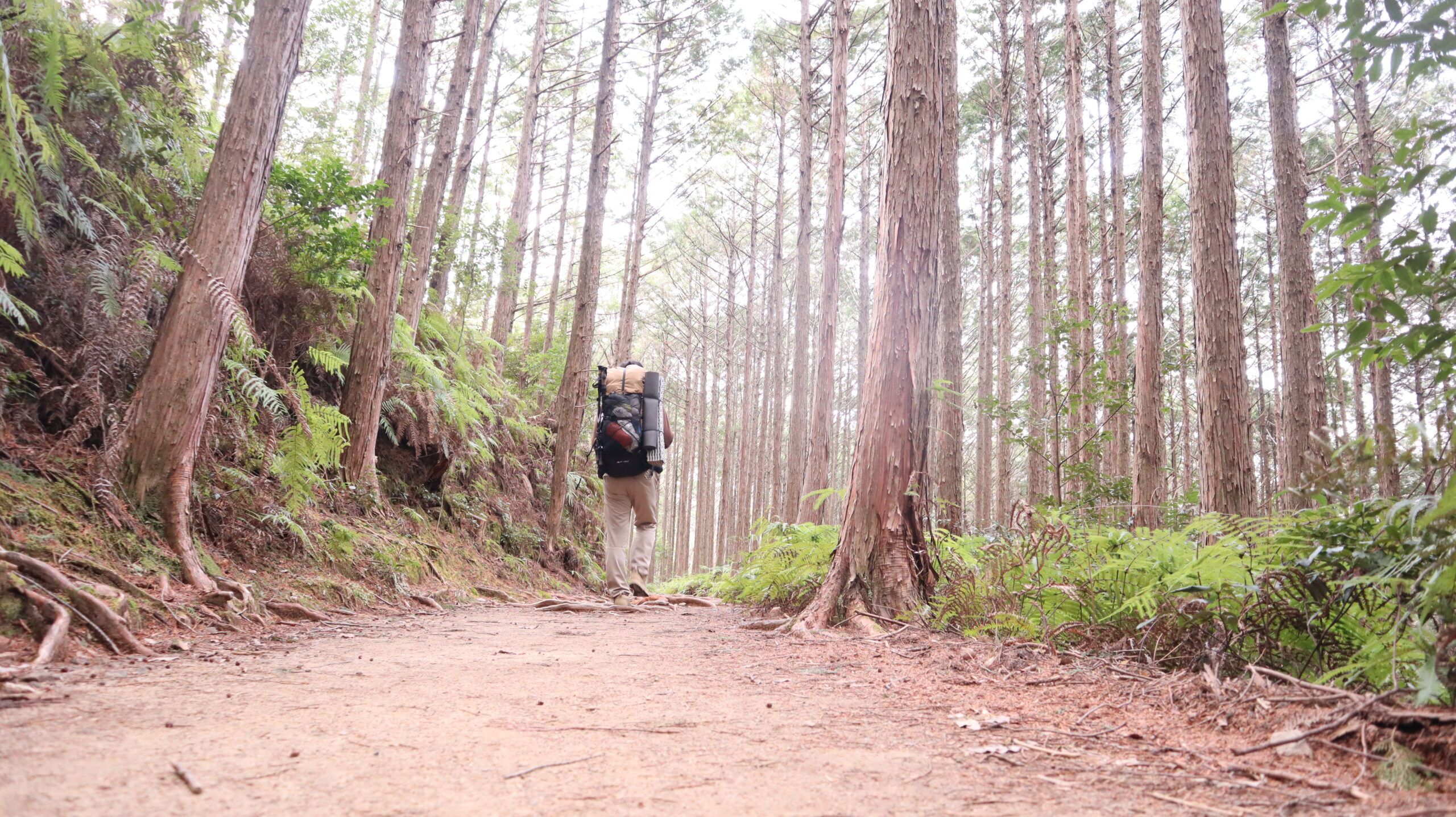
Since the Kohechi route requires crossing three 1,000-meter mountains, a certain level of physical fitness is required.
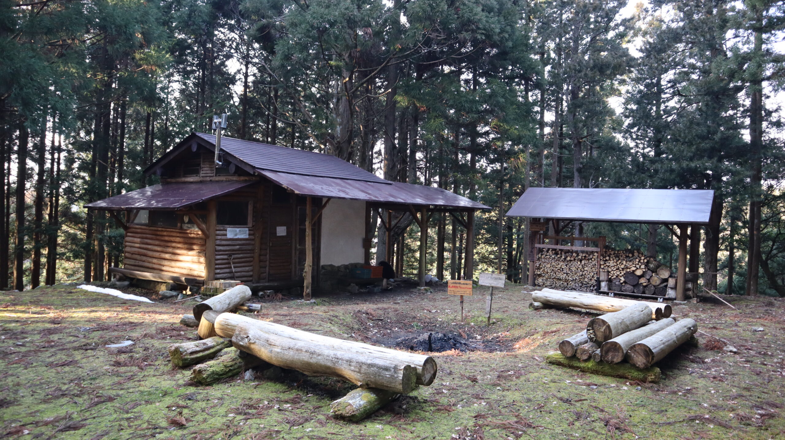
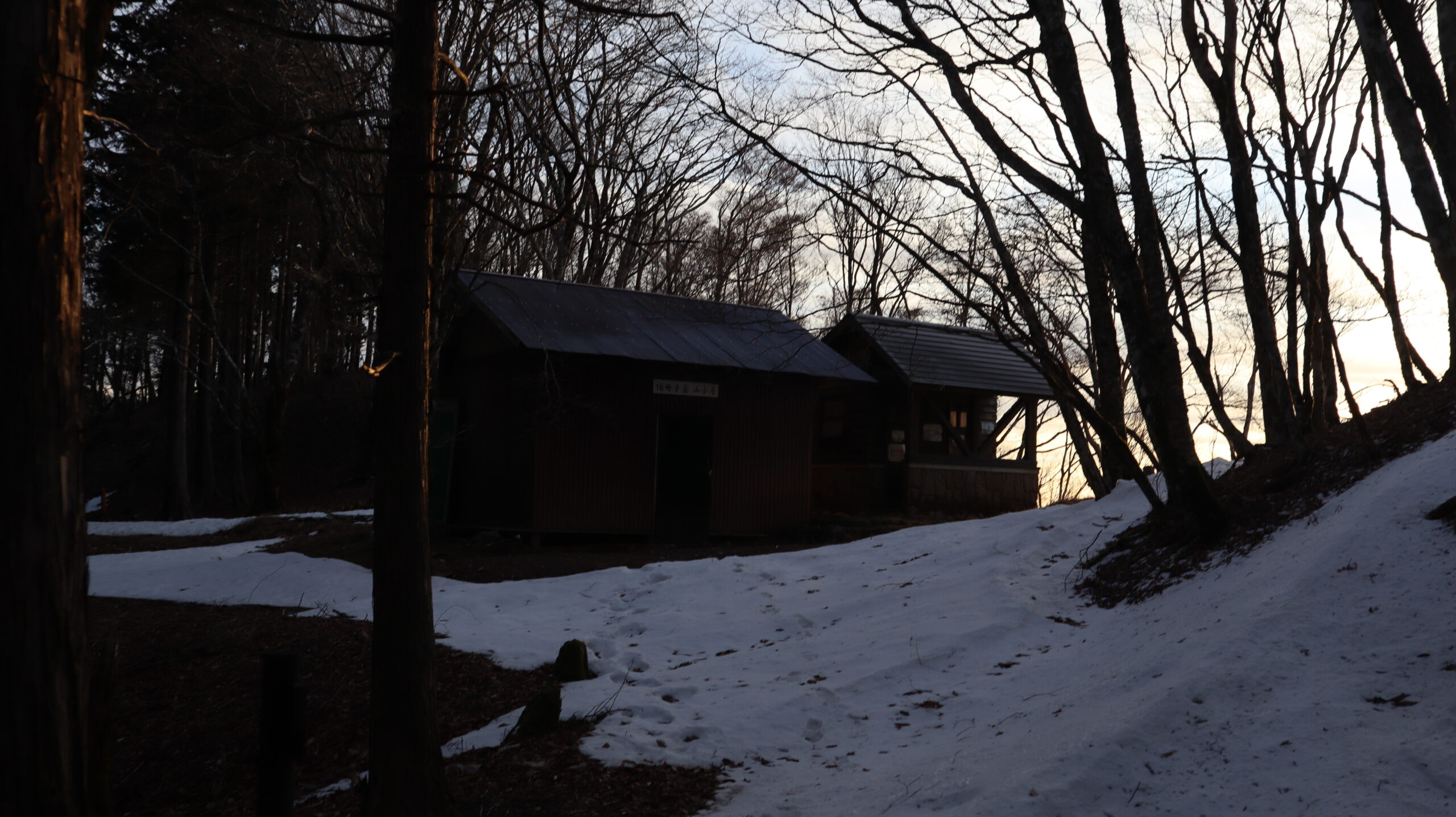
Arrived at the ruins of the Kayagoya Hut, where I will be staying today.
At this point, the time was 4:30 pm.
I had originally planned to stay at a hut a little further up the mountain, but since the sun was setting, I decided to stay here for the night.
This hut was not built by the government for the benefit of Kumano Kodo walkers, but is a private possession.
Therefore, it is more accurate to say that I was entering into someone’s house.
Hello, there.
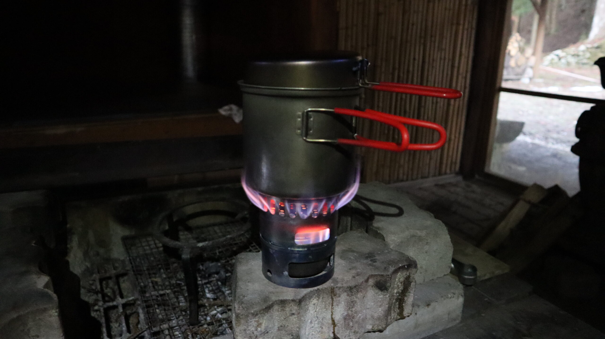
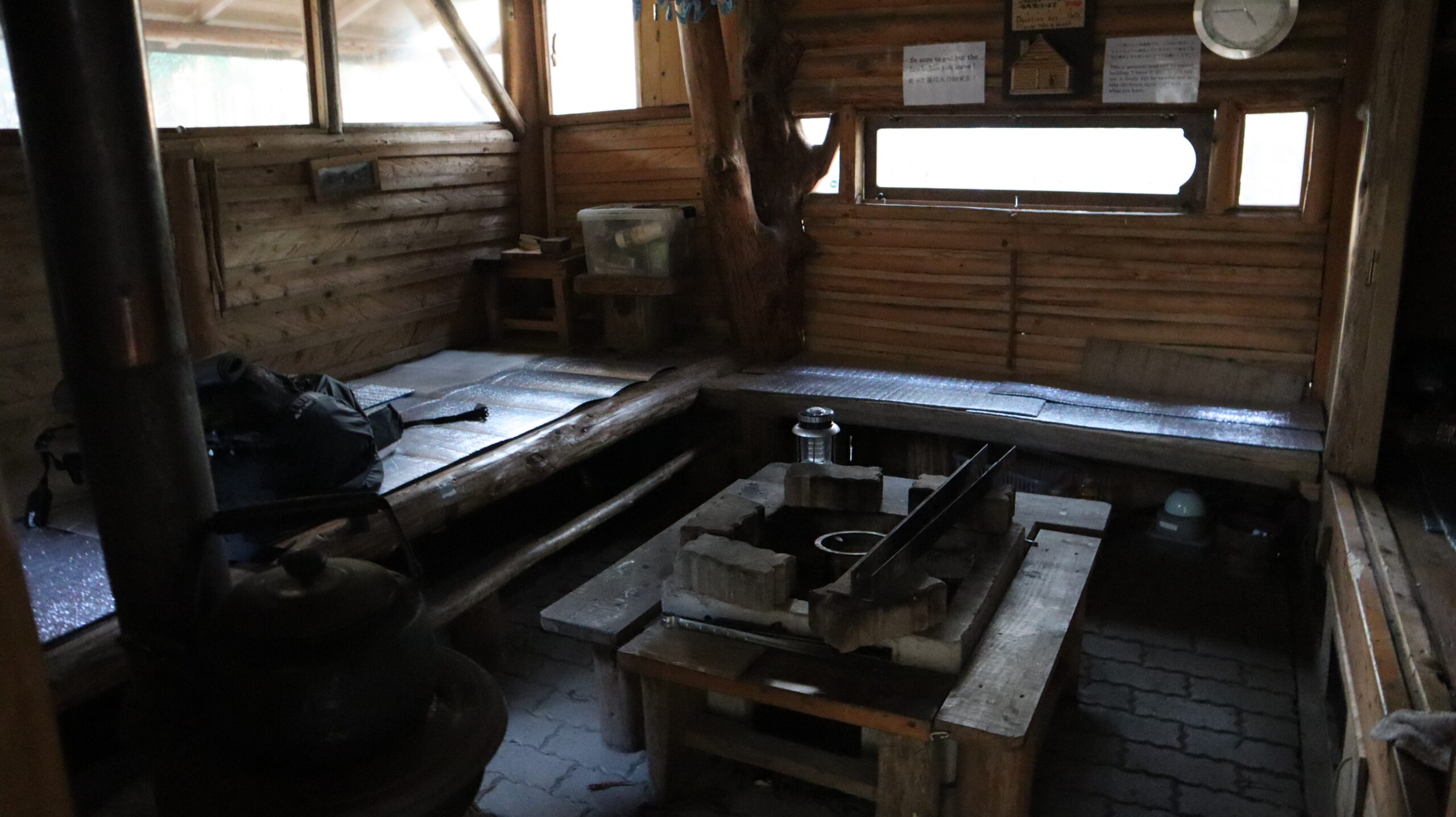
Started to prepare dinner right away.
Boiled water with alcohol stove. I used about 30 ml of fuel.

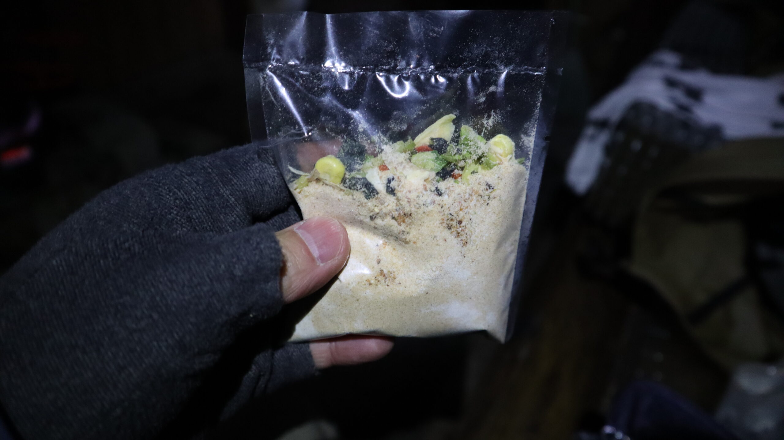
My wife made this trail food.
All you have to do is put the powder, a mix of white sauce and dried vegetables, into baked rice, pour hot water over it and wait 3 minutes.
It is brown rice, not freeze-dried white rice, so it is nutritious. And it tastes great.
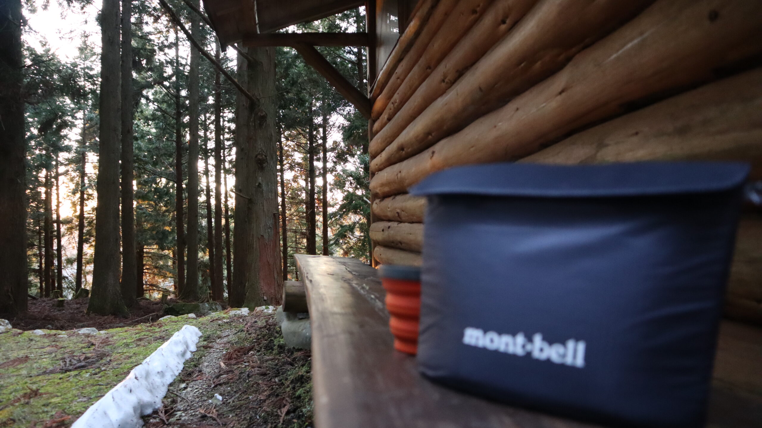
It was still just barely light outside, so I sat outside the hut and ate my supper.
Putting the food in the cozy kept it from getting cold, and I was able to have a hot meal until the end of the entire meal.
By the way, I put a mobile battery in the cozy while I on the go to prevent the battery from getting cool in the open air.
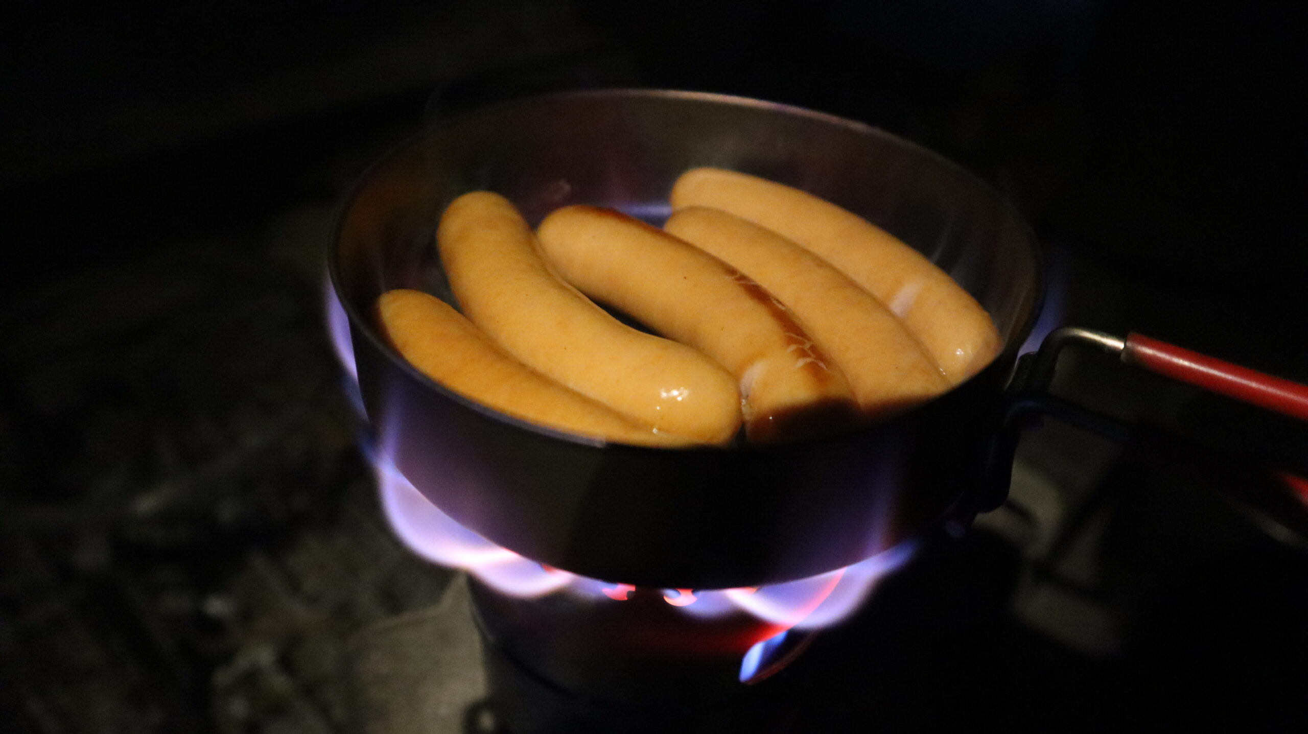
Back inside, closing the meal with sausages.
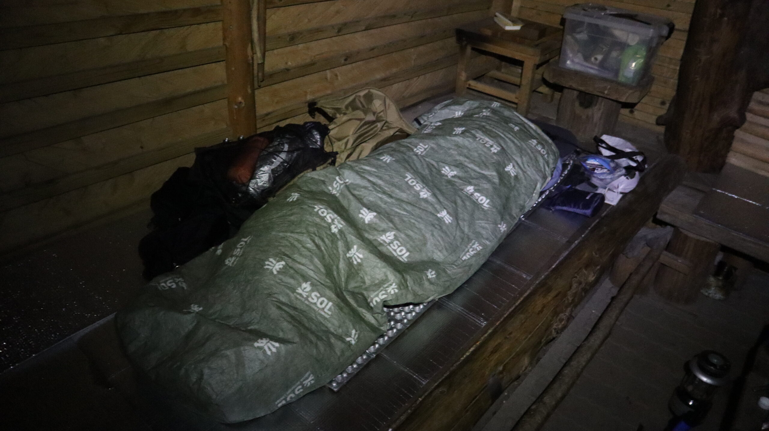
Tomorrow I plan to walk about 30 km. Going to bed early.
Even though it is a hut, the temperature will eventually be the same as the outside air. I needed to take measures against the cold.
I checked the thermometer in the middle of the night, and it was about -5 to -6 degrees Celsius.
Day 2
The next day, I woke up at 4:00 am.
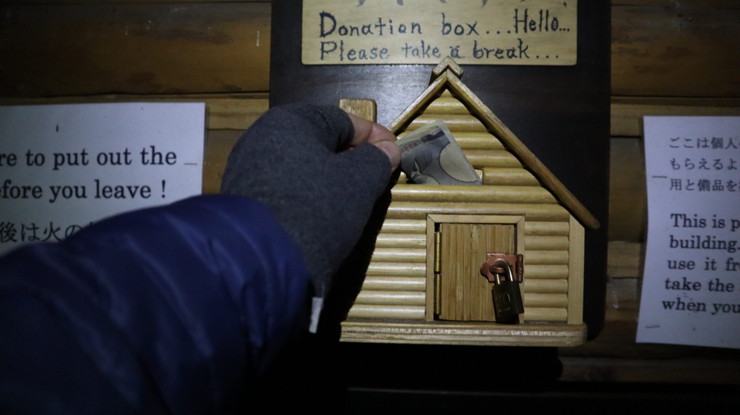
I made a donation as a small token of my appreciation for last night’s stay.
If you stay here, please do make a donation.
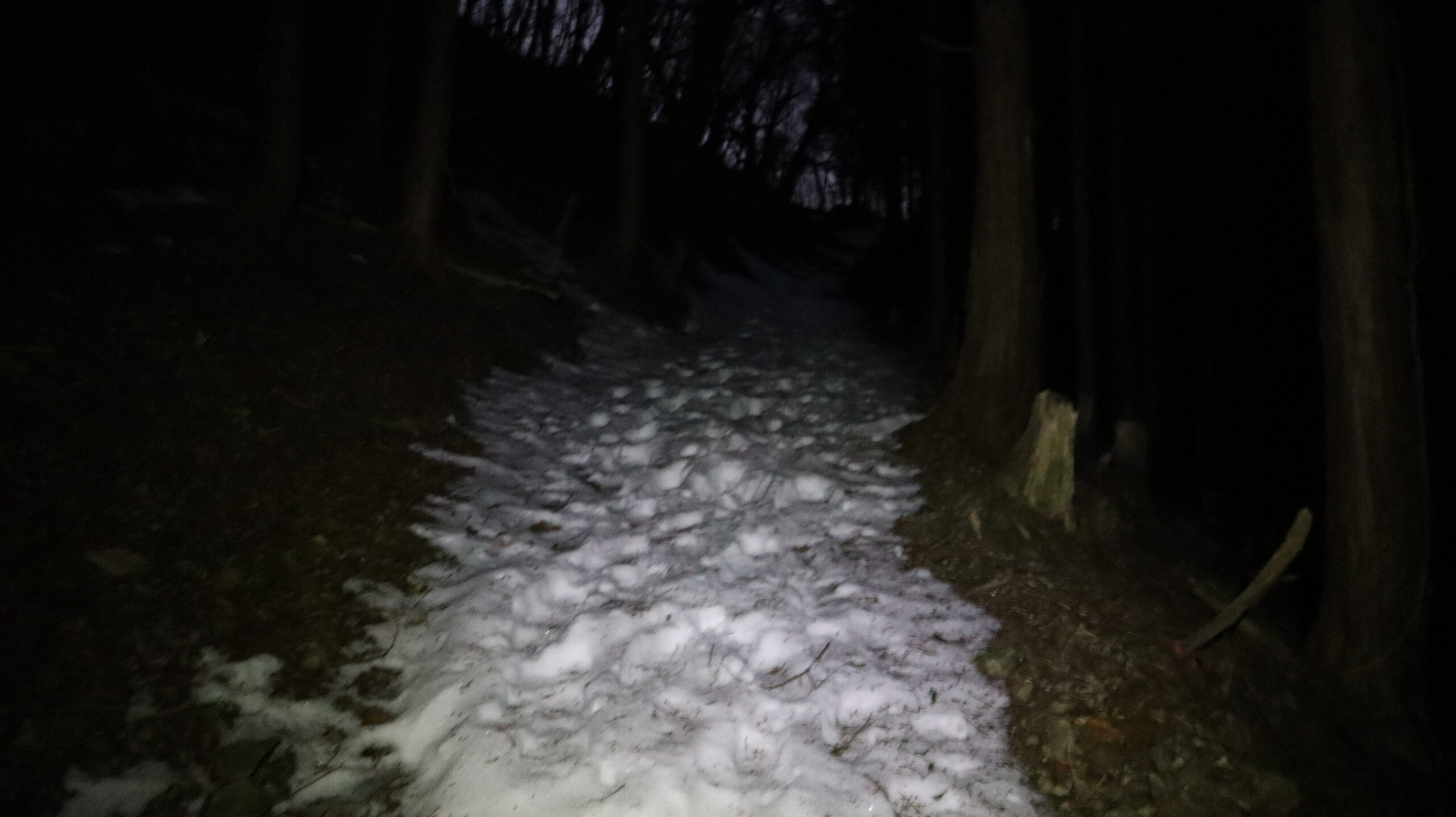
I left the hut at 5:00 a.m. after getting ready.
It was still dark, and I walked along the snow-covered road with my headlight on.
The chain spikes I had brought with me did not seem to be necessary yet.
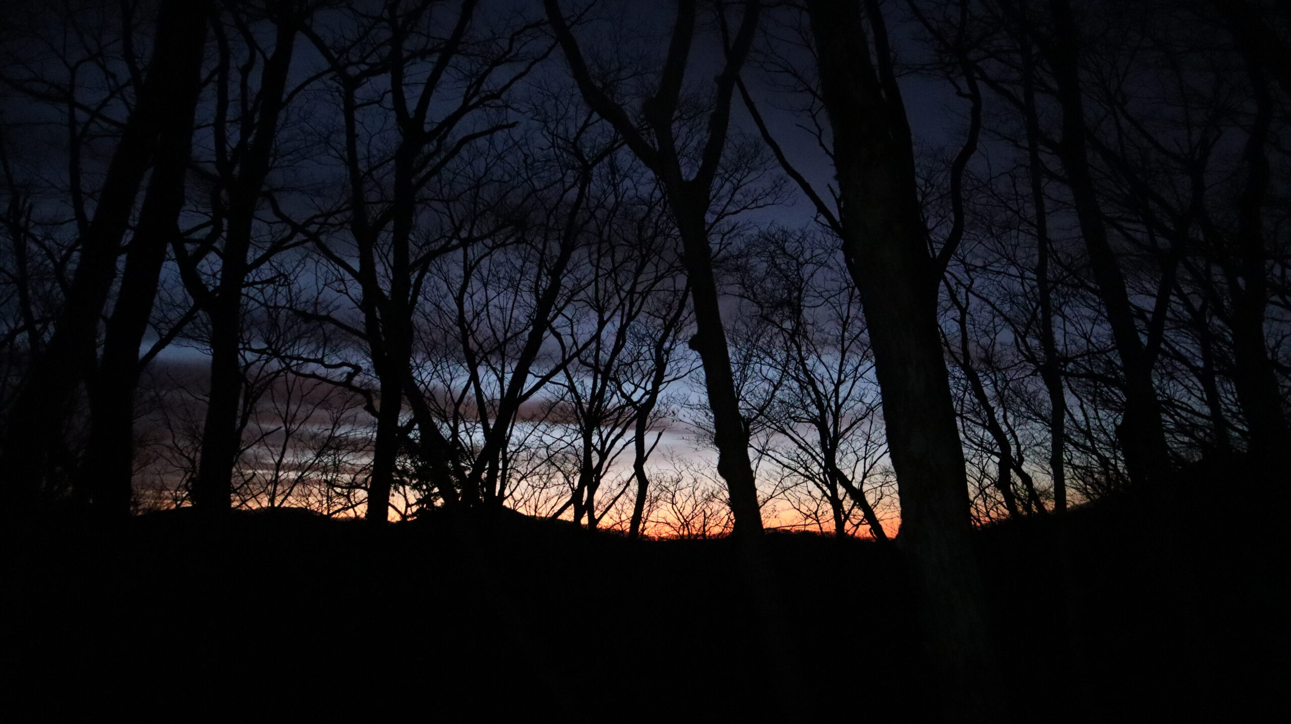
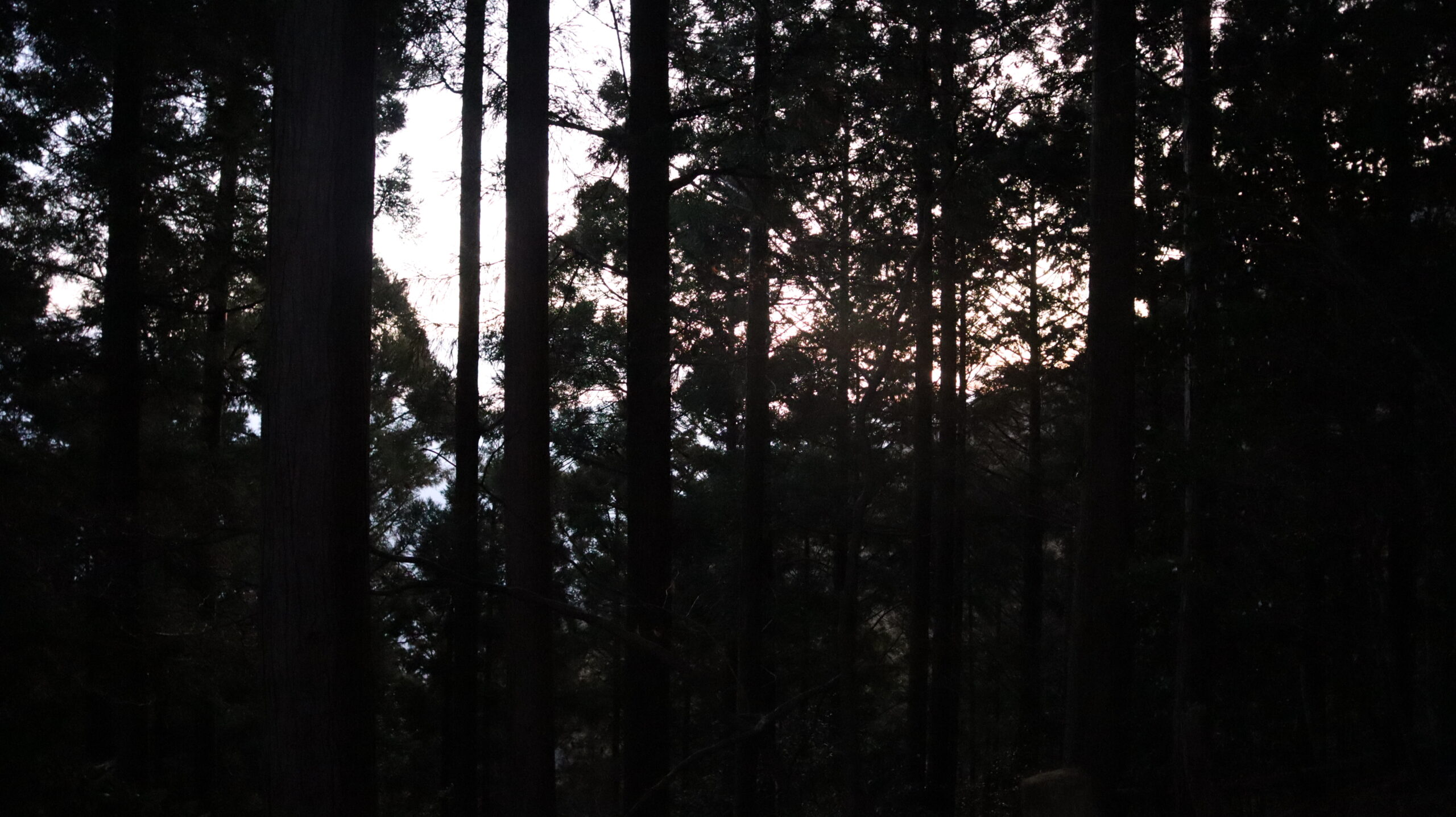
My favorite time of day in the mountains: Magic Hour.
The moment when the world of beasts changes to the world of humans.
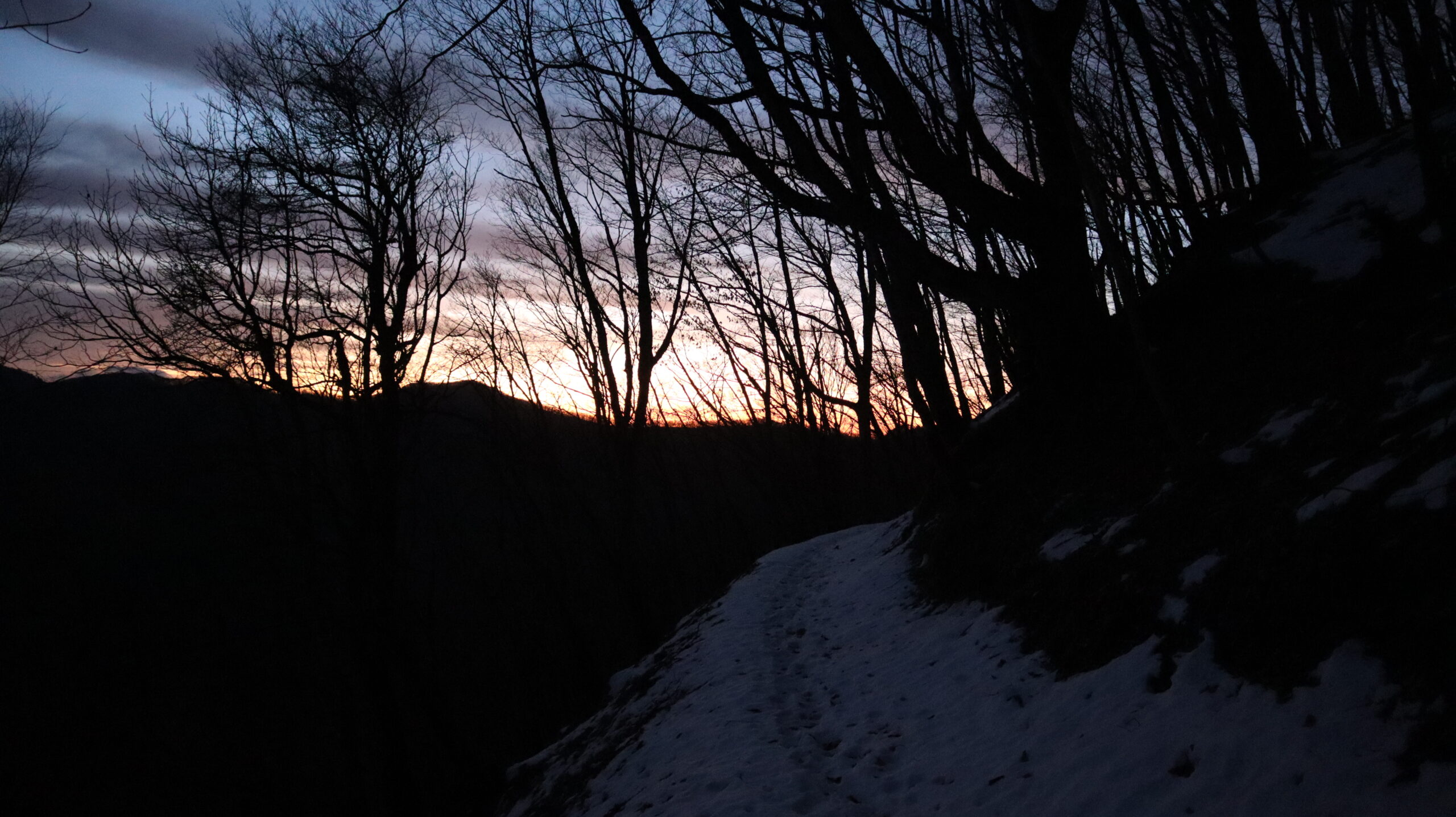
Walking along a snow-covered road, faintly illuminated by the morning glow.
I feel like I’m hovering between current world and so-called heaven.
Wish this time would last forever.
Arrived at the lodge on Obokodake where I had originally planned to stay last night.
The time is 7:30 am.
Here I have breakfast.
I always have breakfast after I start walking.
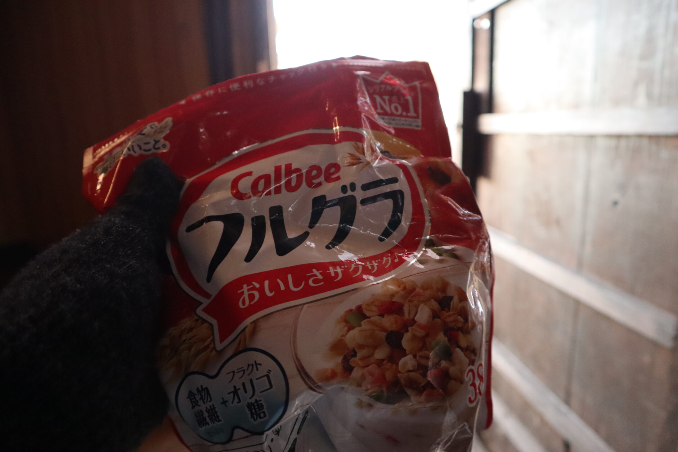
I don’t use the cooker and eat granola as it is.
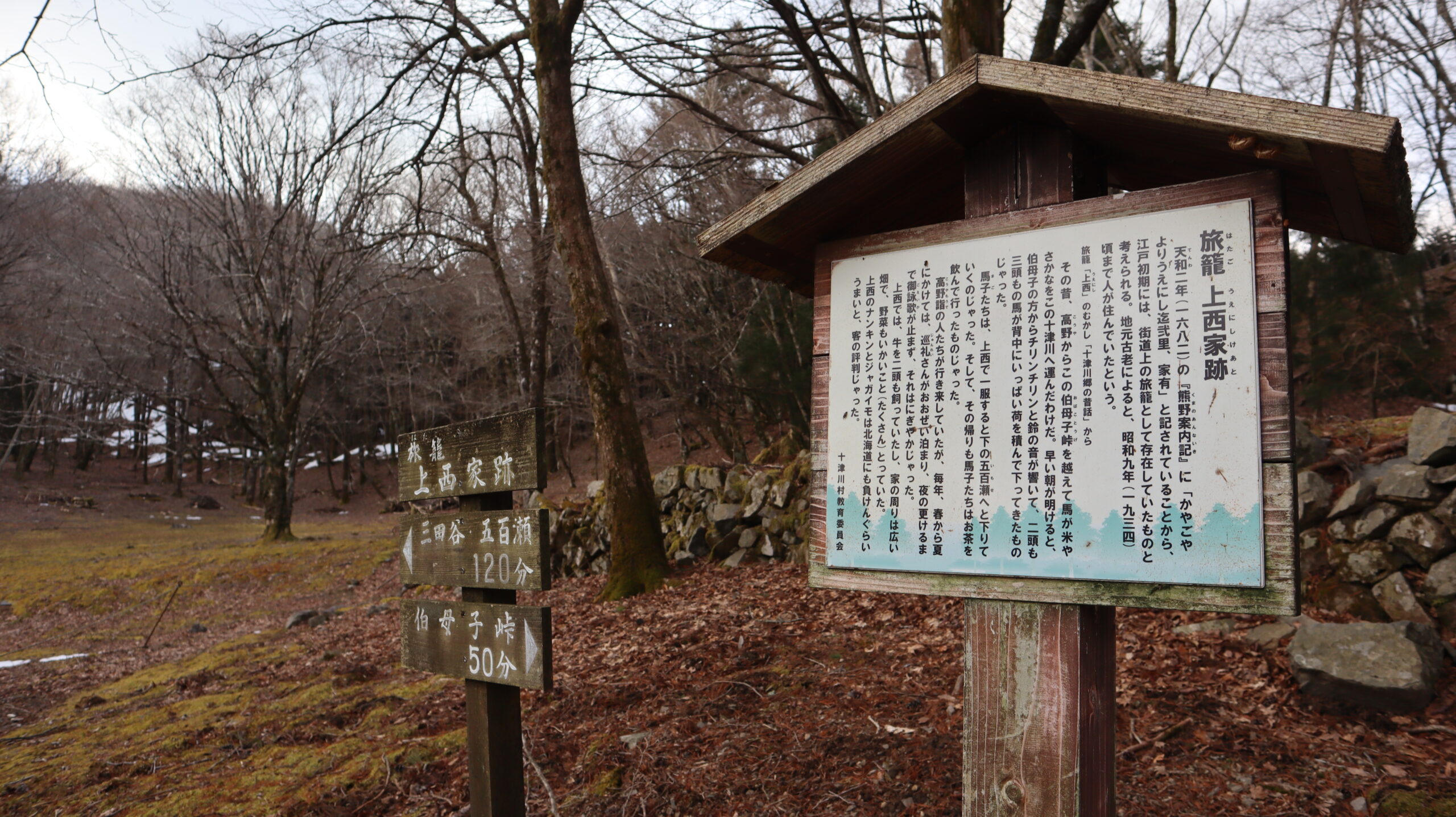
After the summit of Obokodake, there is the ruins of the Kaminishi Family.
A hatago (旅籠) in Japanese means an inn.
As the description says, merchants used to pull horses to this place, which surprised me, really.
Entrepreneurial spirit is simply amazing.
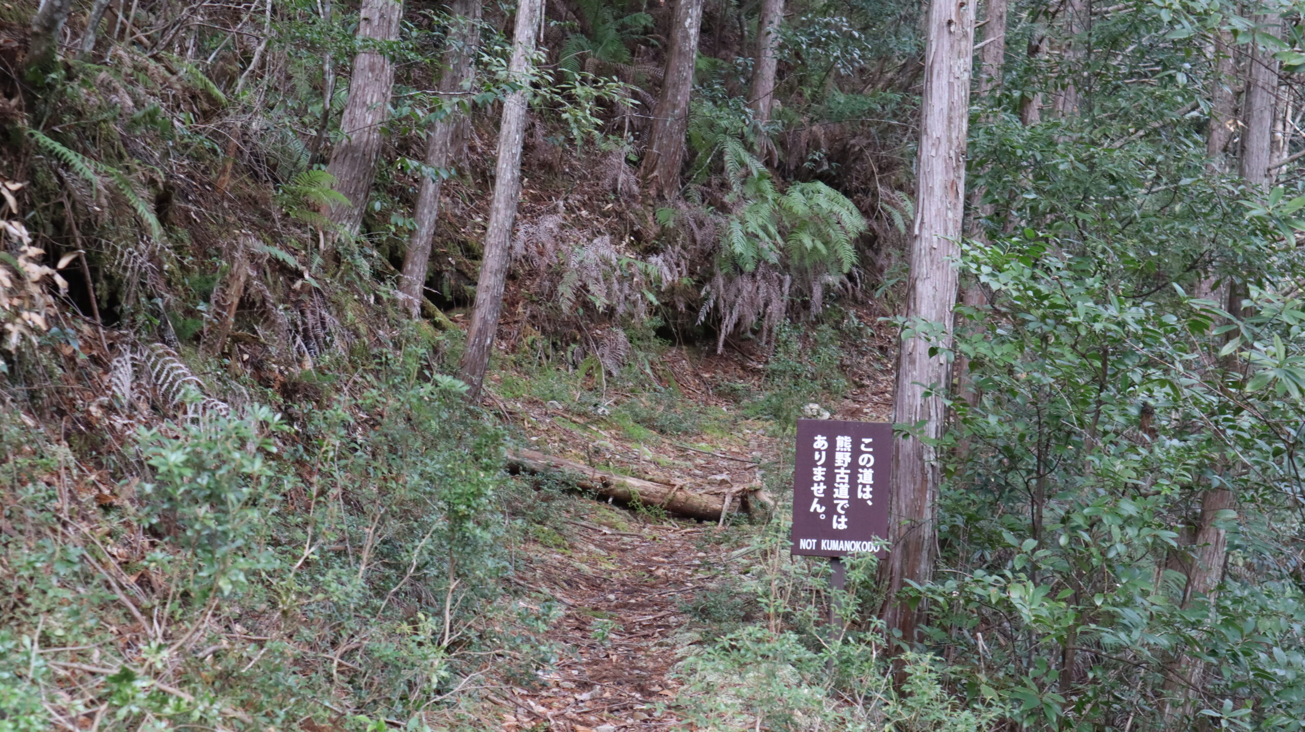
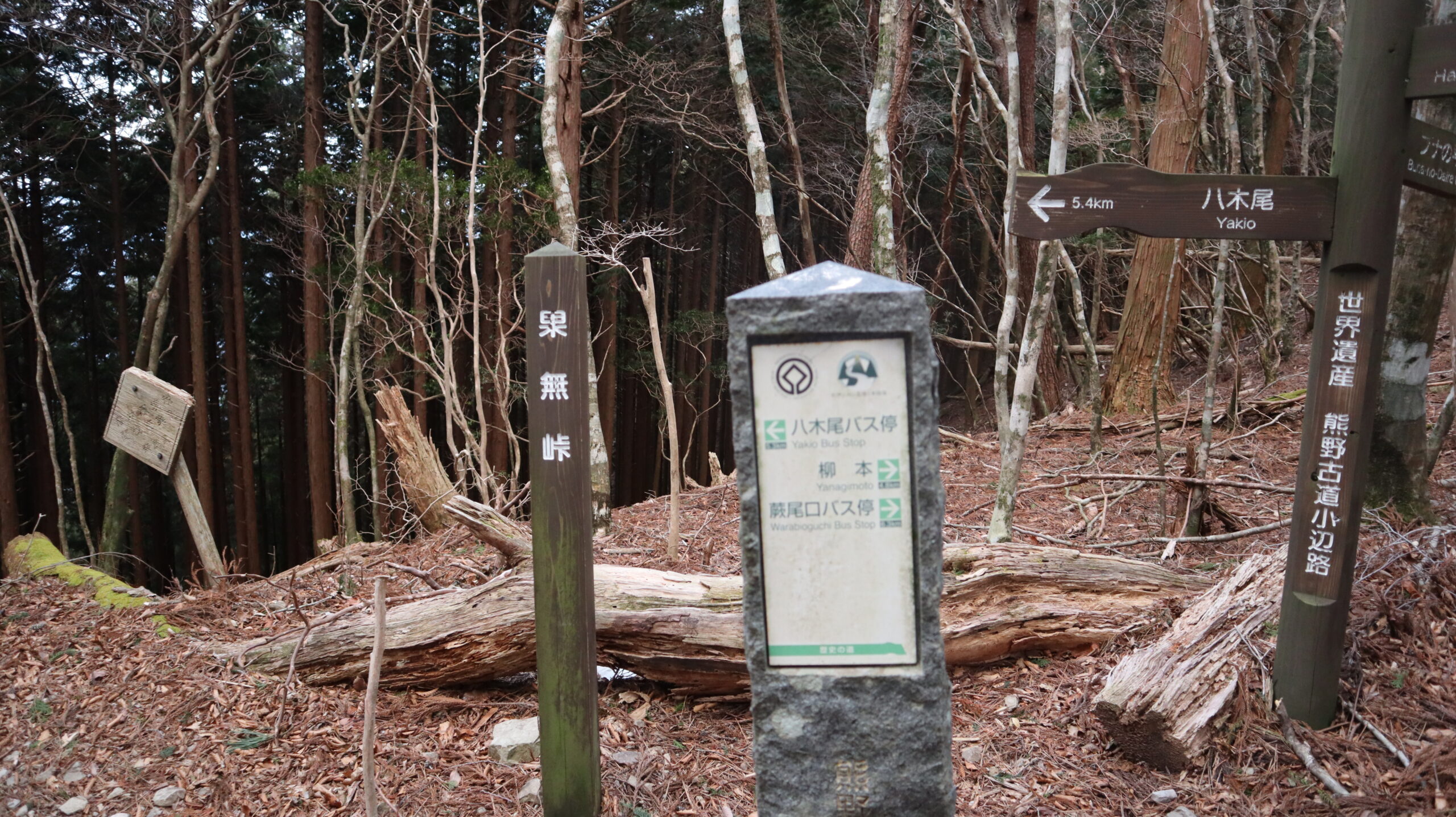
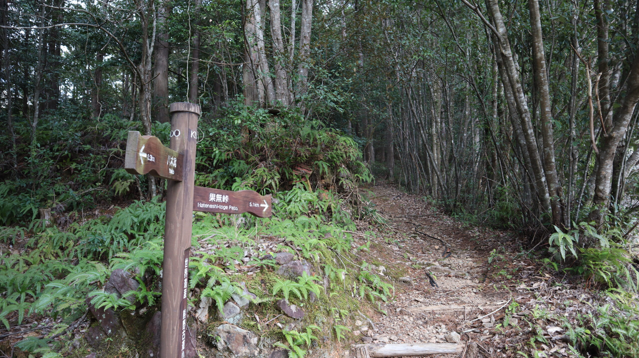
Nice to see signs like this at every fork in the road.
This way, even those who are not good at reading maps will not get lost.
The fact that it says “NOT KUMANOKODO” in English is also excellent.
Here I encountered the people coming from the other side.
When I asked them, they told me that they were volunteers maintaining the Kumano Kodo, and that they were going to build a wooden path where the footholds had deteriorated.
We should not forget that the path is made easier to walk thanks to these people.
I politely expressed my gratitude and said goodbye.
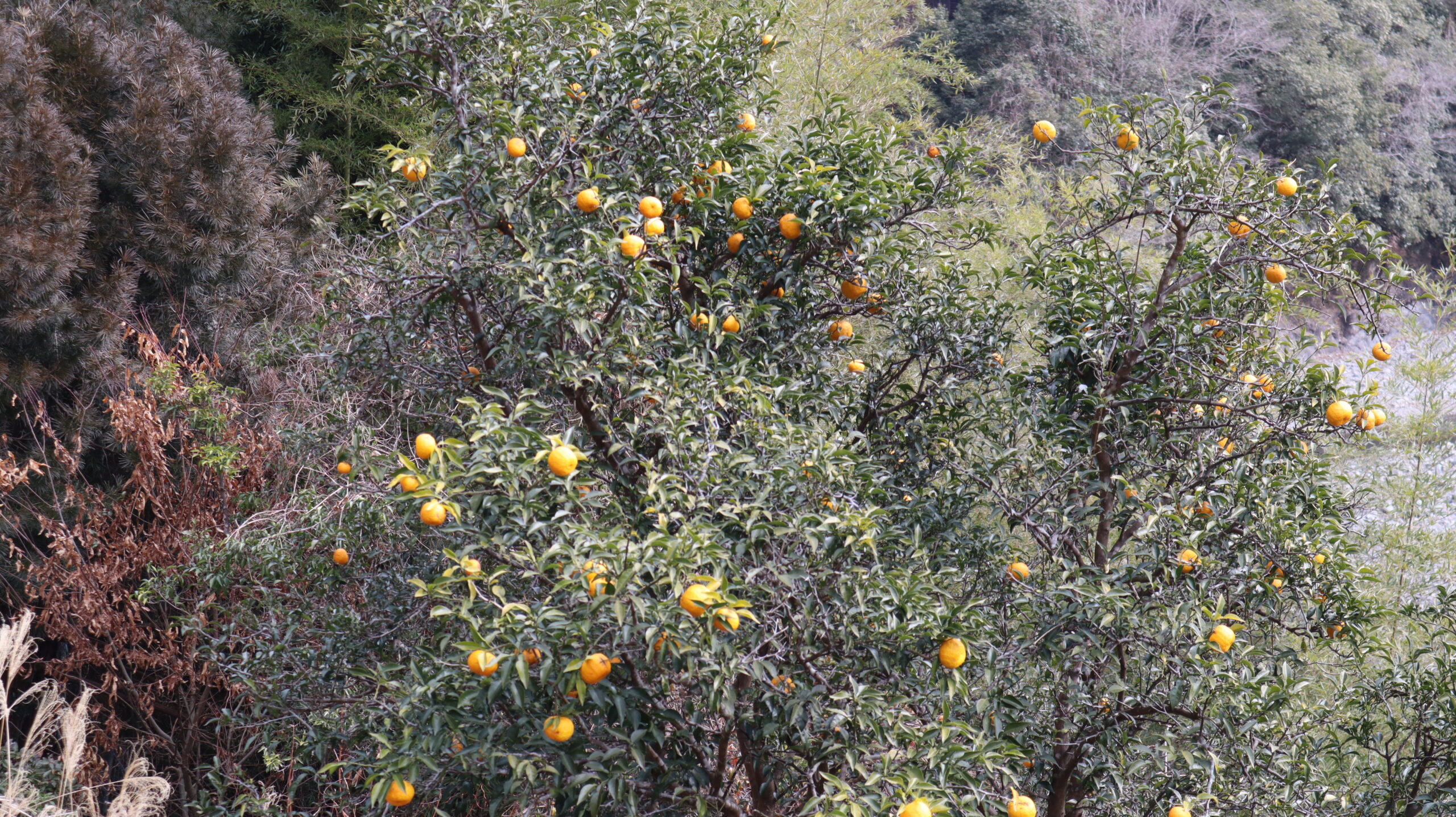
Down in the village, I found citrus plants.
This scenery reminds me once again that this place is the part of Kii Peninsula.
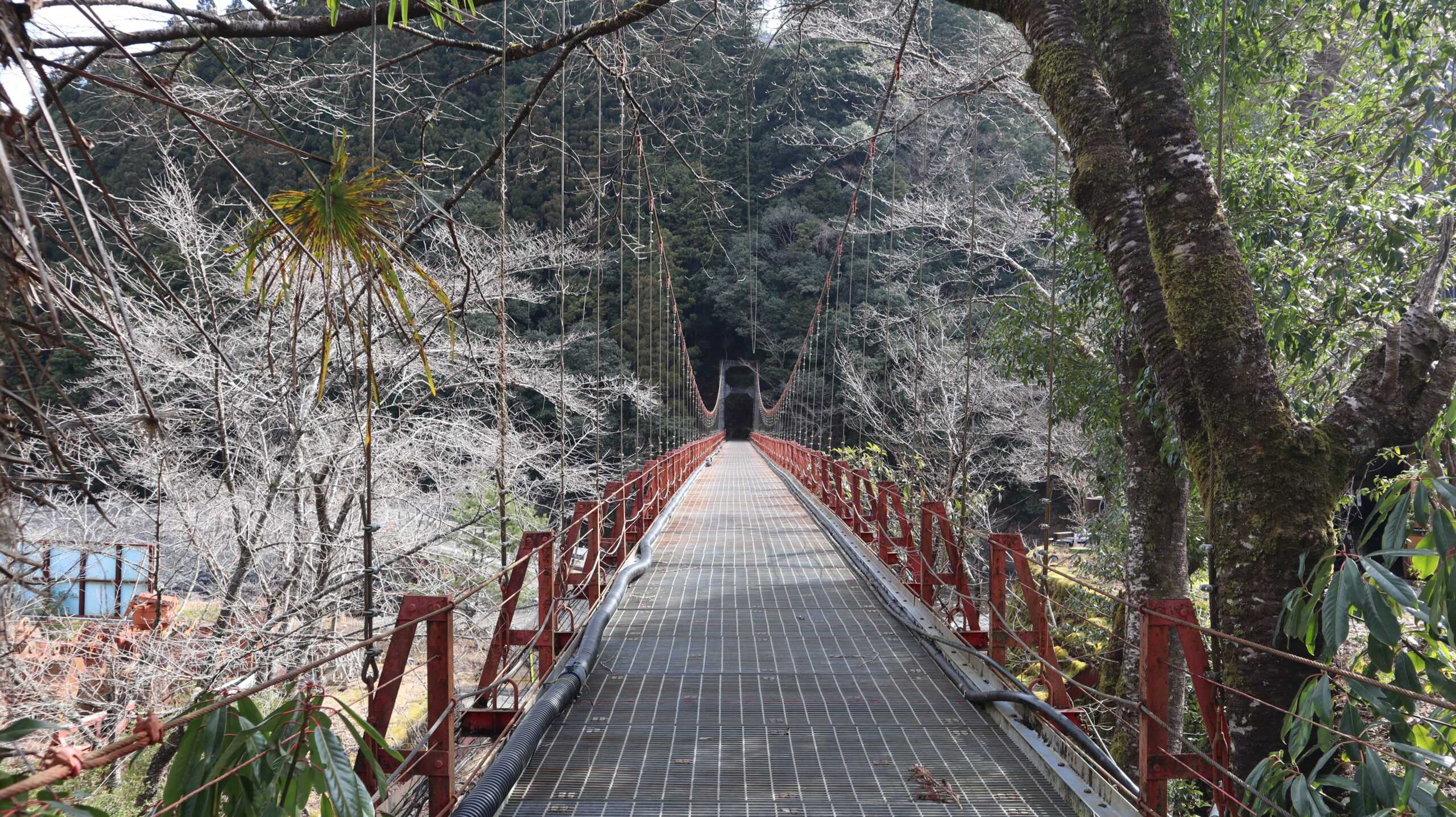
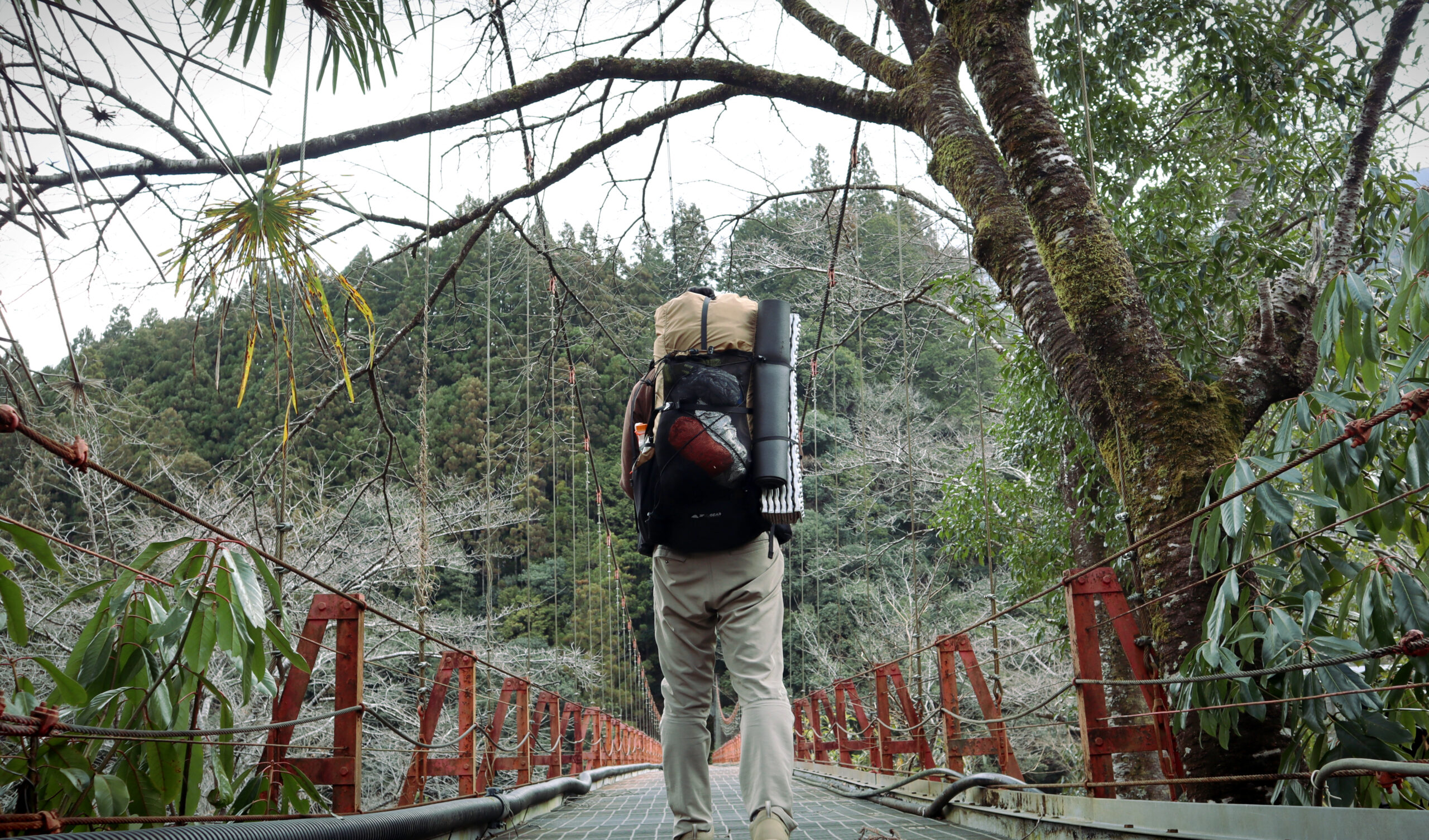
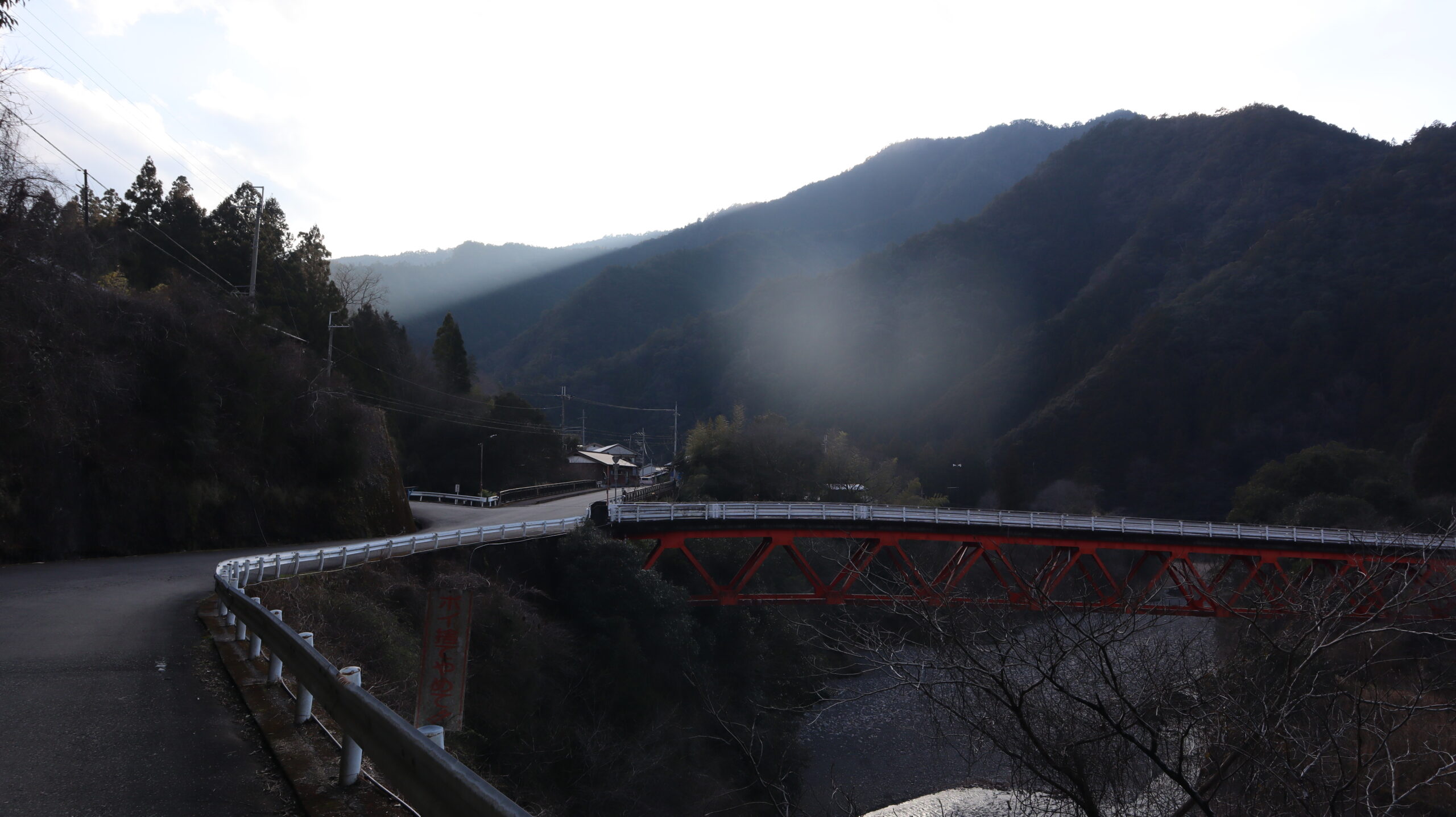
After crossing this bridge, I will enter the Miura Pass.
I just crossed the 1,344-meter high Obokodake, and now I have to cross another 1,000-meter high mountain.
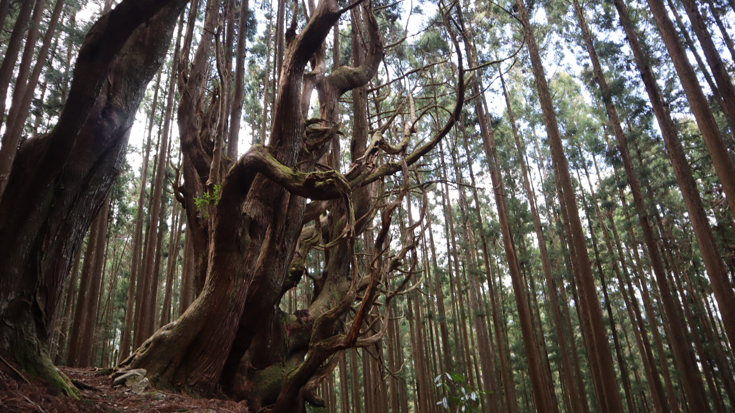
This is a famous large tree that can be seen in Kohechi.
When you actually see it, you can feel an incredibly strong life force that is hard to describe.
There used to be a teahouse near this tree. It is likely that people used to take a rest while looking at this large tree.
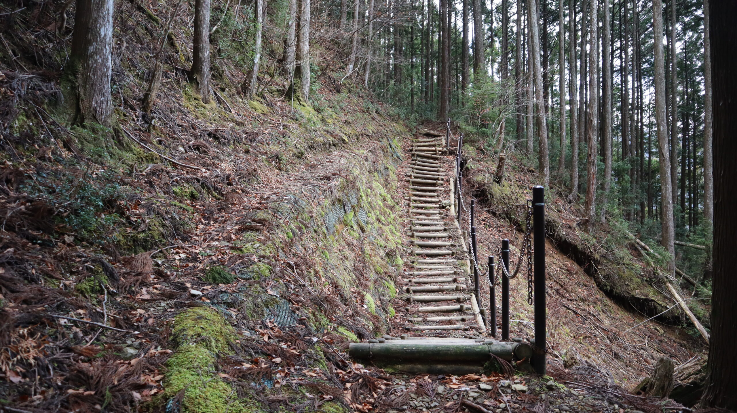
A wooden path has been properly laid on the collapsed slope.
Thinking how hard it must be to maintain a World Heritage site, I picked up trash on the path.
This is what I could do to maintain it as I walked.
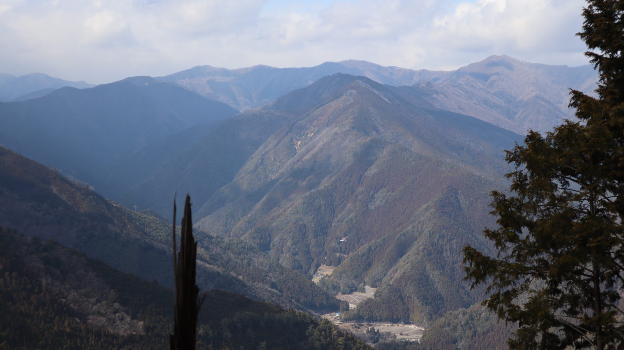
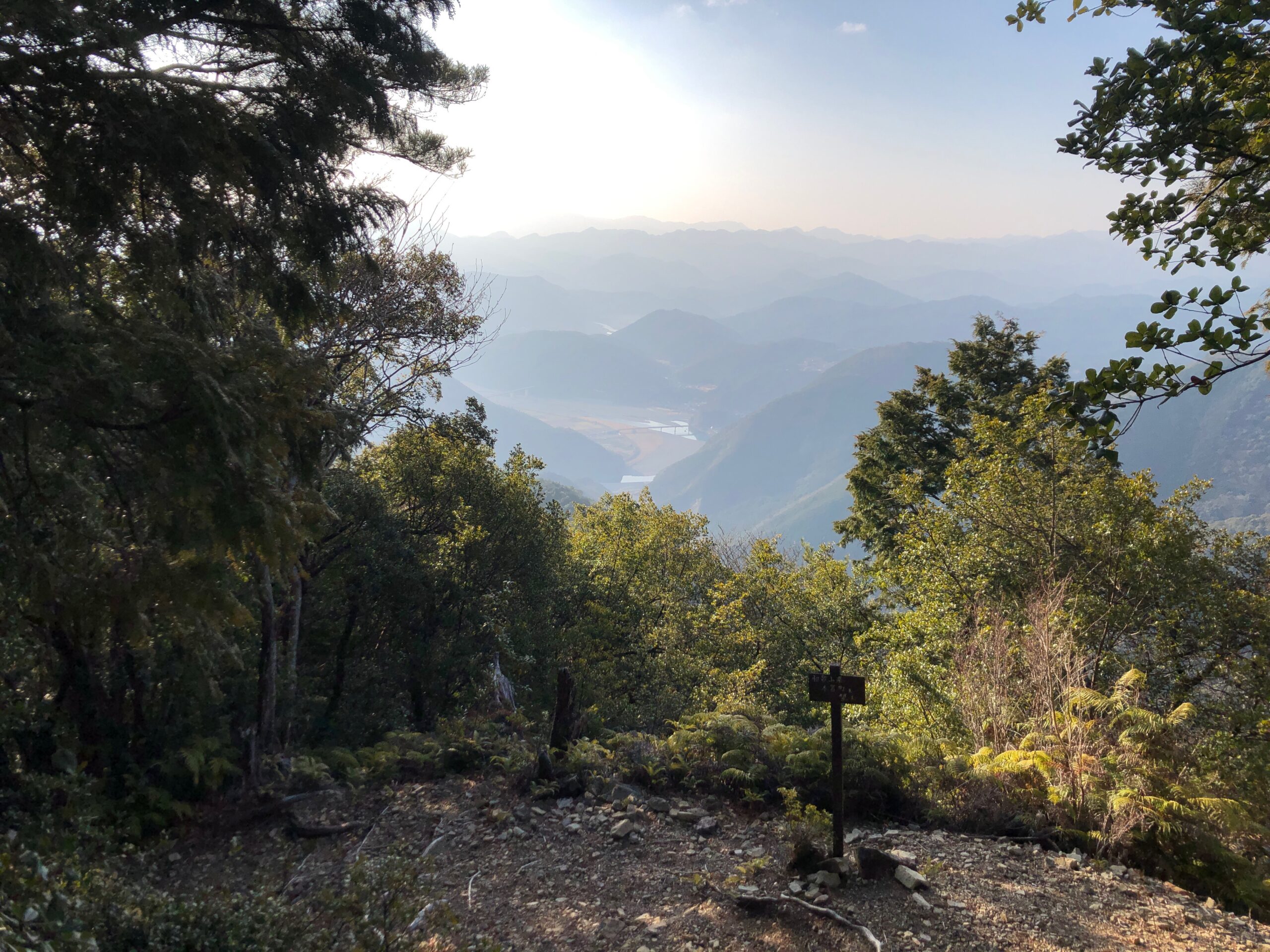
While walking through the forest for most of the Kohechi, you can see views like this sometimes.
Mountains as far as the eye can see. And there are more mountains beyond them.
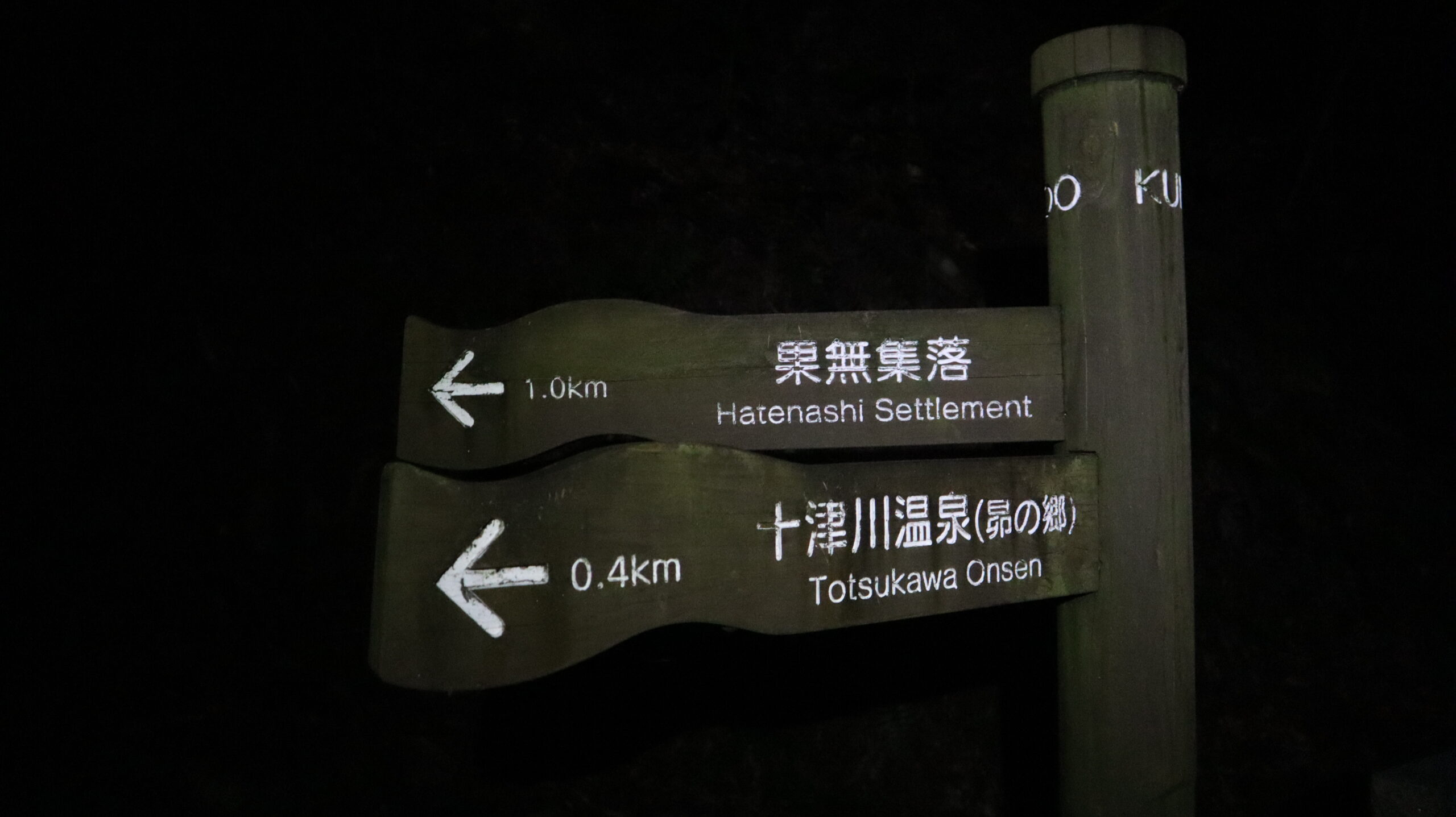
I entered Totsukawa at 3:30pm.
It has been a little over 10 hours since I started walking.
There is about a two-hour road walk from here.
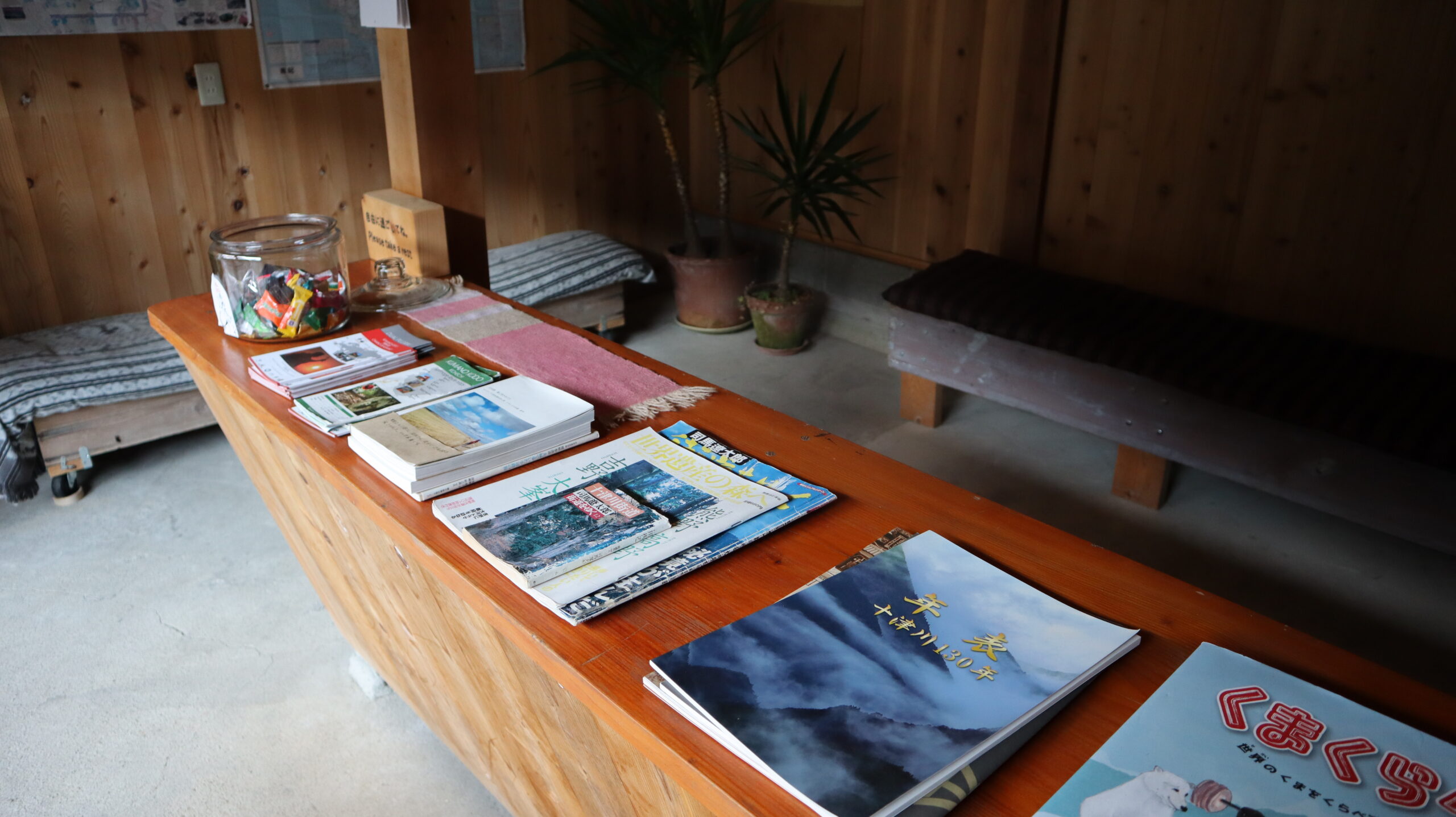
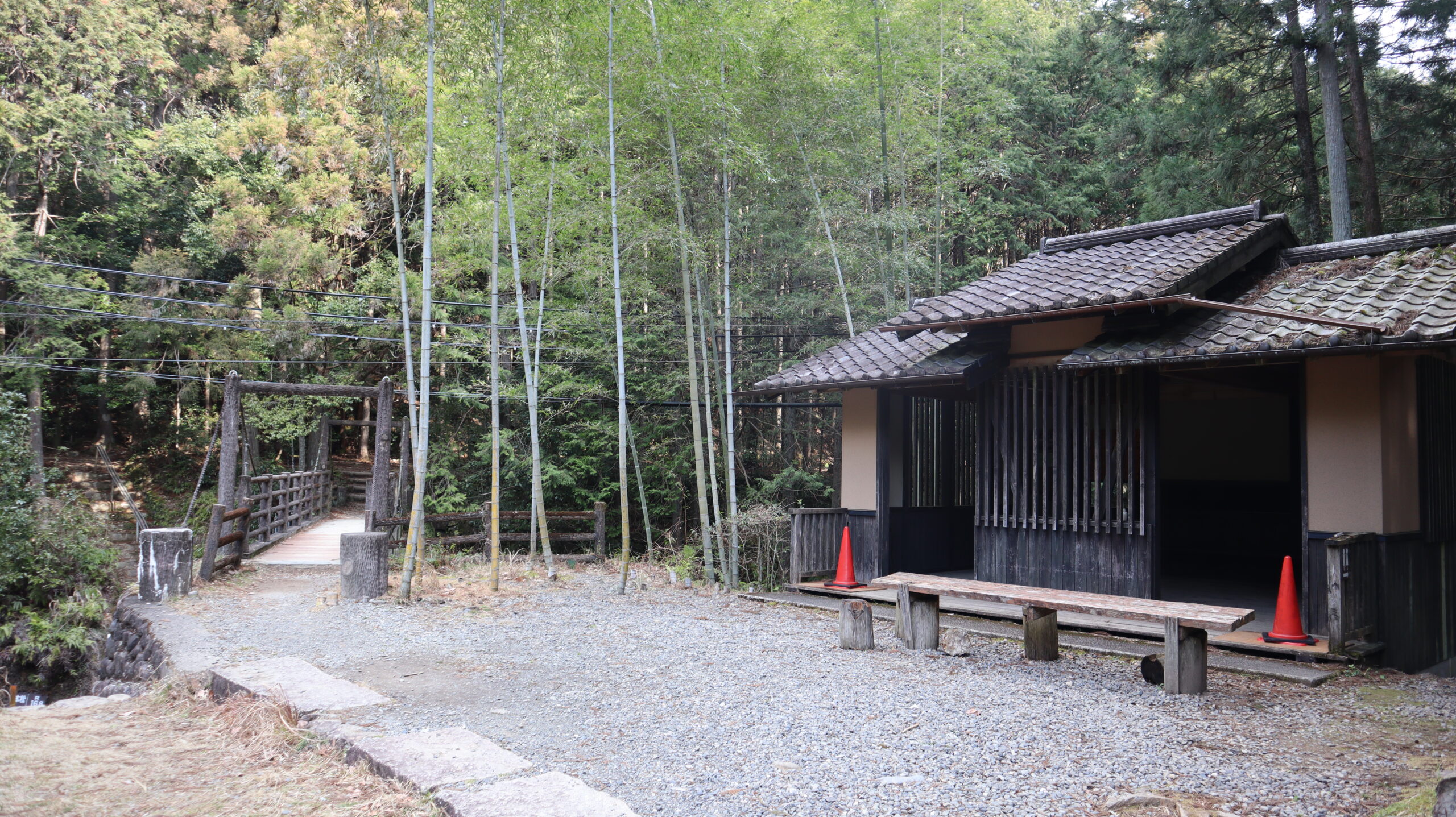
A community space open to Kumano Kodo walkers.
Guide books and free candies were distributed.
Unfortunately, I did not see any people, but this place must be crowded during long holidays.
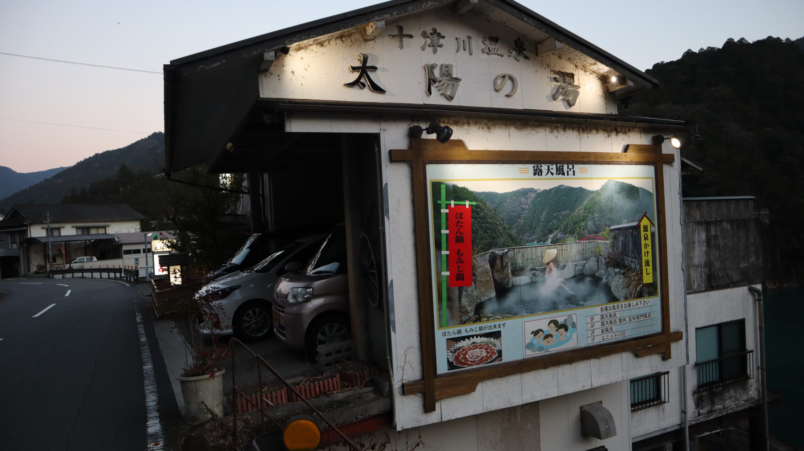
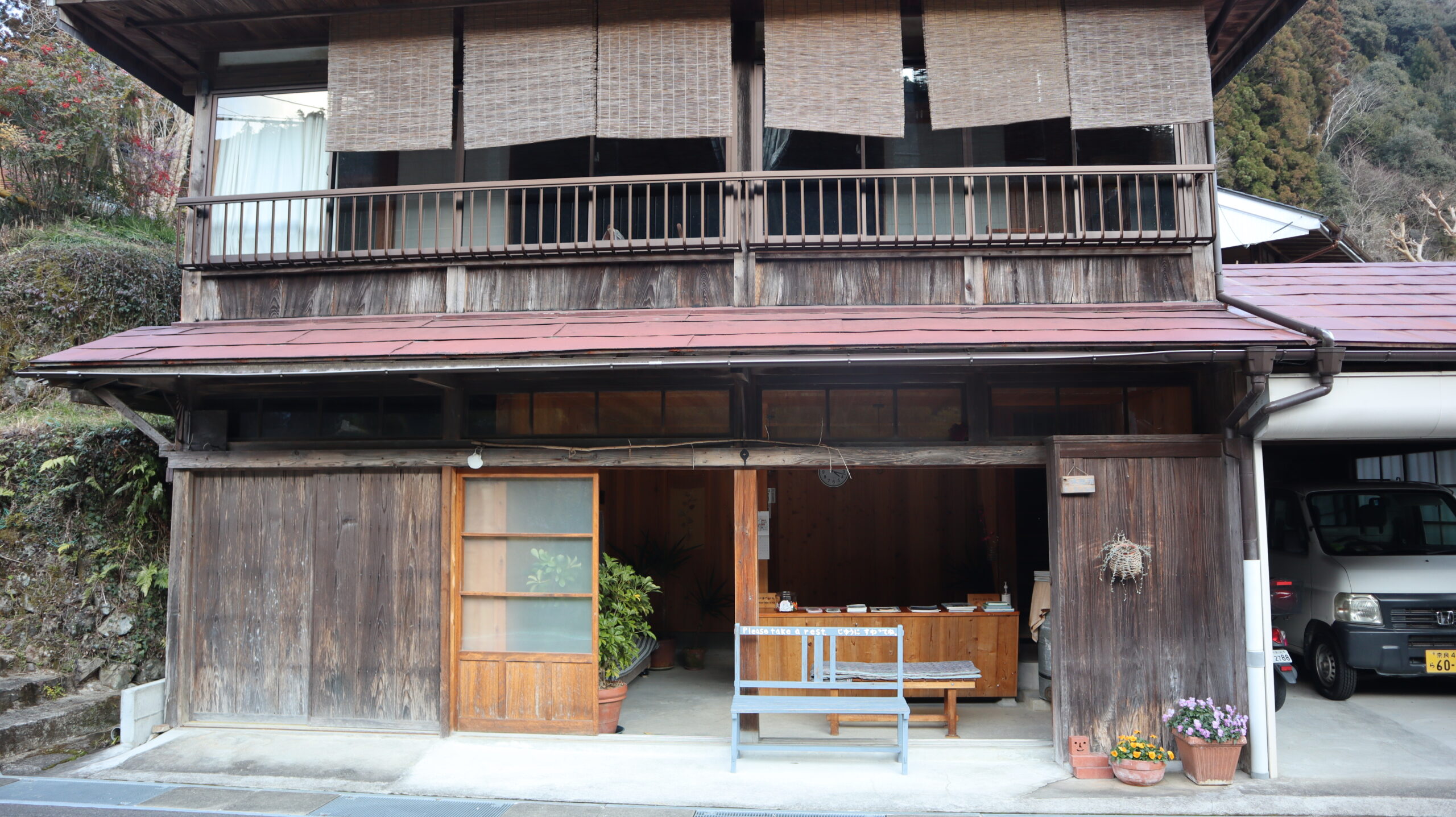
Arrived at today’s inn, Taiyo no Yu.
Although I was undecided until the last minute whether I should set up a tent, I decided to take a bath in the hot spring since I had come all the way to Totsukawa. I made a reservation for a one-night stay by phone while walking.
The hot spring was free-flowing hot-spring water, and I could use it for 24 hours a day. This kind of flexibility is one of the best parts of a walking trip.
I walked about 32.5 km in 12.5 hours this day.
Since I had to get up even earlier tomorrow, we ate the trail food we had brought and went to bed early.
Day 3
The next day, I woke up at 2:00 am.
Left the inn at 3:00 a.m. after getting ready for the day.
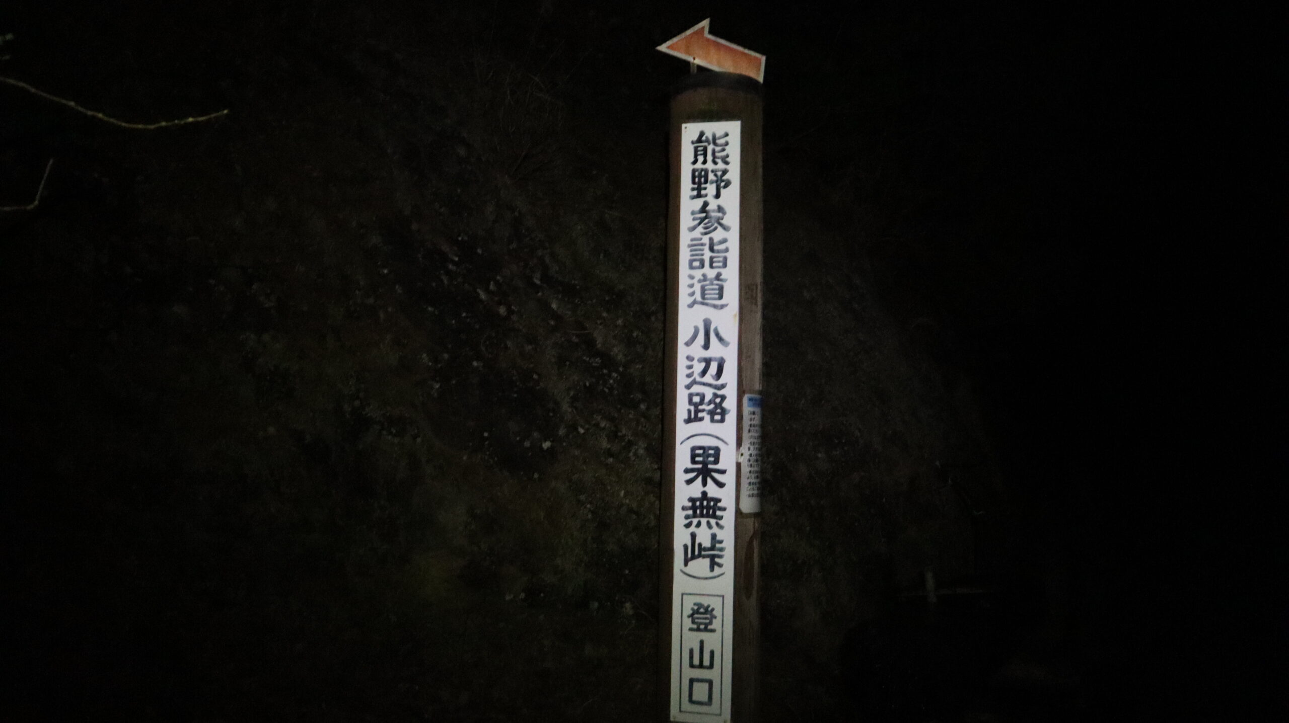
When I arrived at the entrance to Hatenashi Pass, it was still pitch black.
Continued night hike with a headlight turned on.
I used to be afraid to walk alone in the mountains at night, and I used to maximize the luminous intensity of my headlight back then.
Now I’ve gotten so used to it and can walk with the light intensity of the headlight at a minimum of 40 lumens, which is enough for me.
Even in the dark, I took a close look at the history of Kumano Kodo.
The sight of a hiker standing in front of the sign late at night with his headlights on and nodding his head, saying, “Hmm, hmm, oh yeah!” must have looked very suspicious.
The sky finally became brighter on the way up Mt. Hatenashi.
The time was 7am.
It’s already been 4 hours since I started walking.
Arrived at Hatenashi Pass.
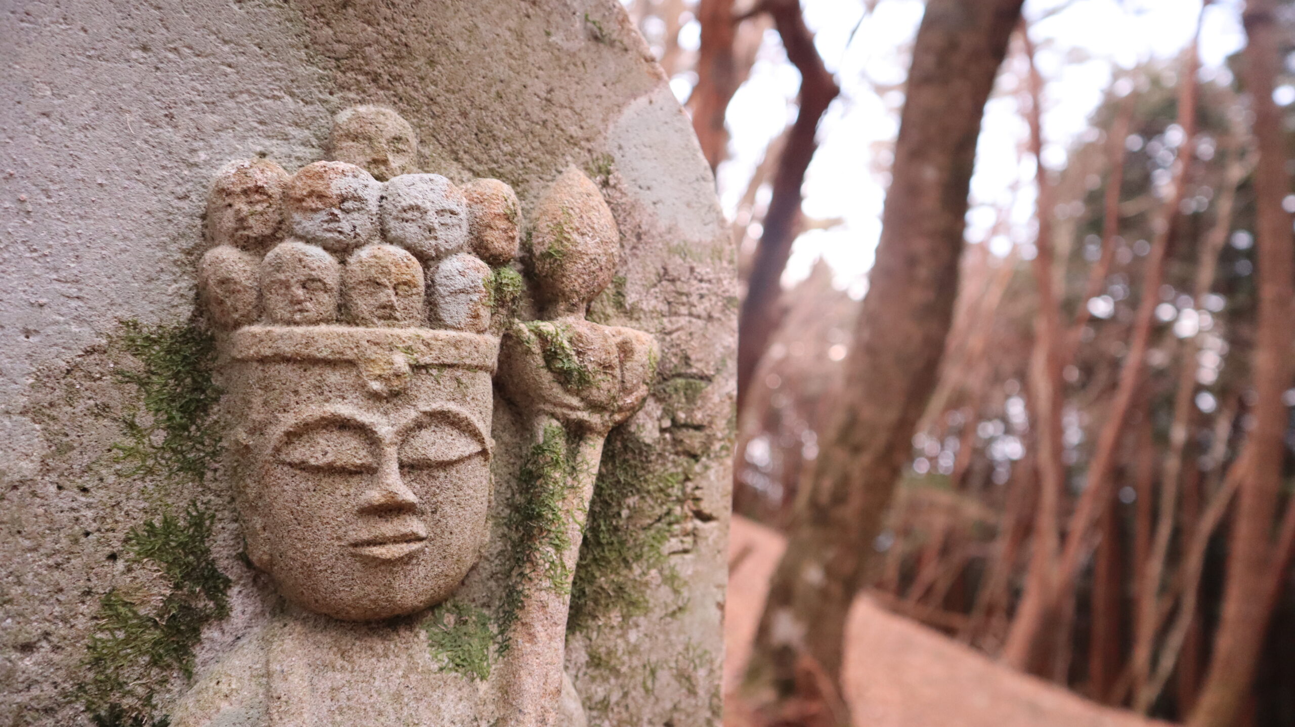
There are 33 such stone Buddha statues between Totsukawa and Kumano Hongu.
On the way, I noticed that each of these stone Buddha statues seemed to have a different shape and face.
The number 33 comes from the pilgrimage to the 33 places in the Saigoku region.
At 8:30 a.m., I arrived at the observation deck where I can see Hongu Town in Wakayama Prefecture.
Feels like finally approaching my goal, Kumano Hongu.
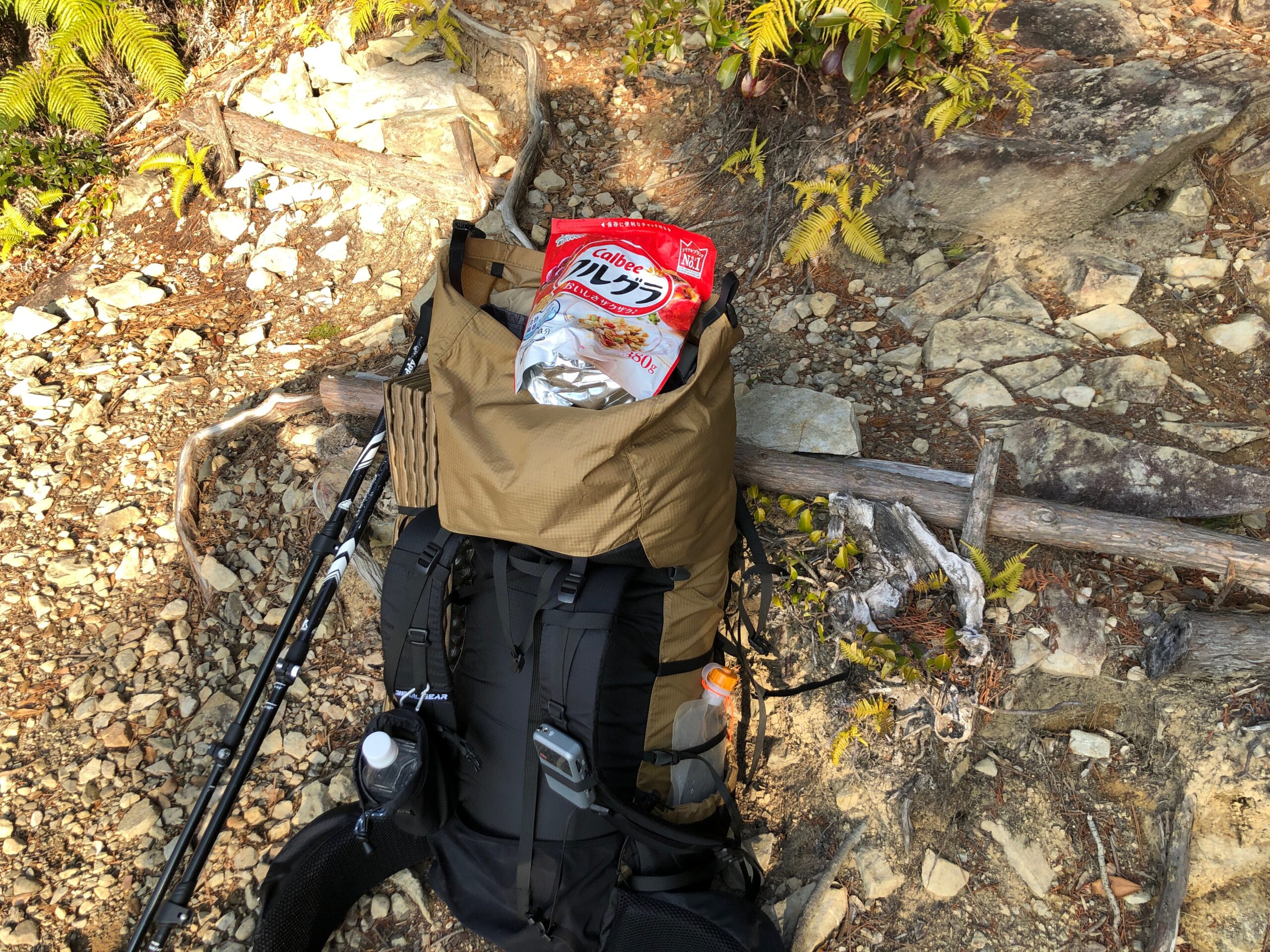
Had breakfast here.
Granola can be used as an on-the-walk food, has good nutritional balance, and is lightweight.
Definitely suitable for trail food.
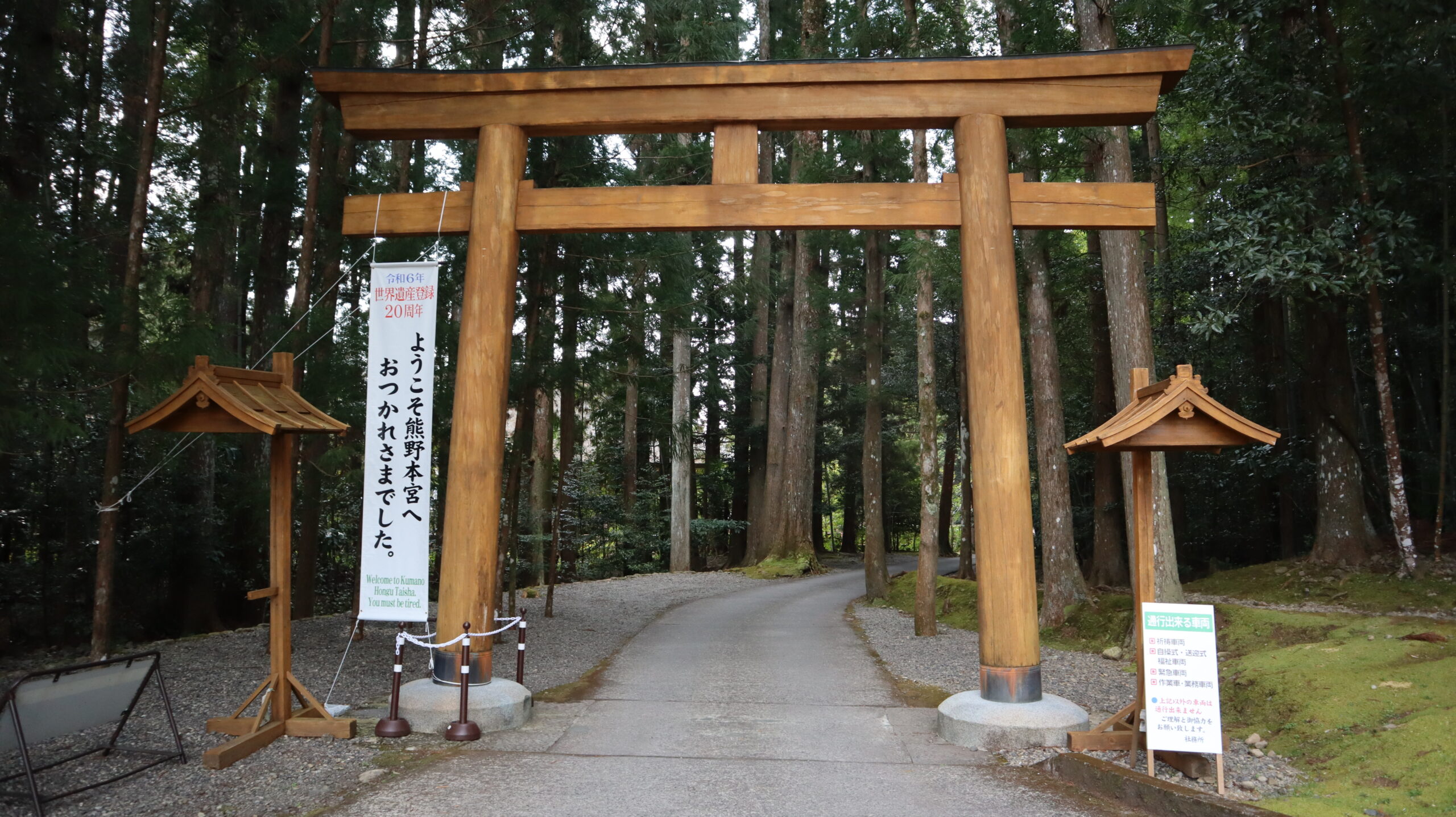
Onto Hongu town.
This is where the Kumano Kodo/Kohechi mountain hike ends.
I felt a little sad thinking that the three-day trip is almost over.
After walking through town for a while, I reached the junction with Nakahechi, one of the routes of the Kumano Kodo.
Seeing my equipment, people asked me, “did you come here on foot from Koyasan?”
When I told them that I had been walking on snowy roads for three days, they seemed genuinely surprised.
It seems that many people walk from here to Kumano Hongu.
From here, I walked along a very well-maintained road.
Compared to the 1,000-class mountains I’ve climbed so far, it felt like a walk in my backyard.
It’s like the god of Kumano is seeing through me and saying, ” Hey, you want a little bit more of a hike in the mountains, right?”
Some selfies.
Arrived at Kumano Hongu at 11:48am.
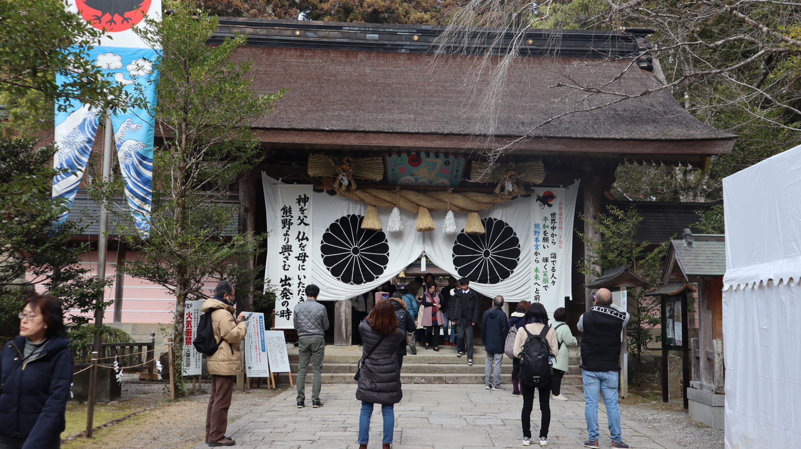
It’s crowded with people, probably because it’s the weekend.
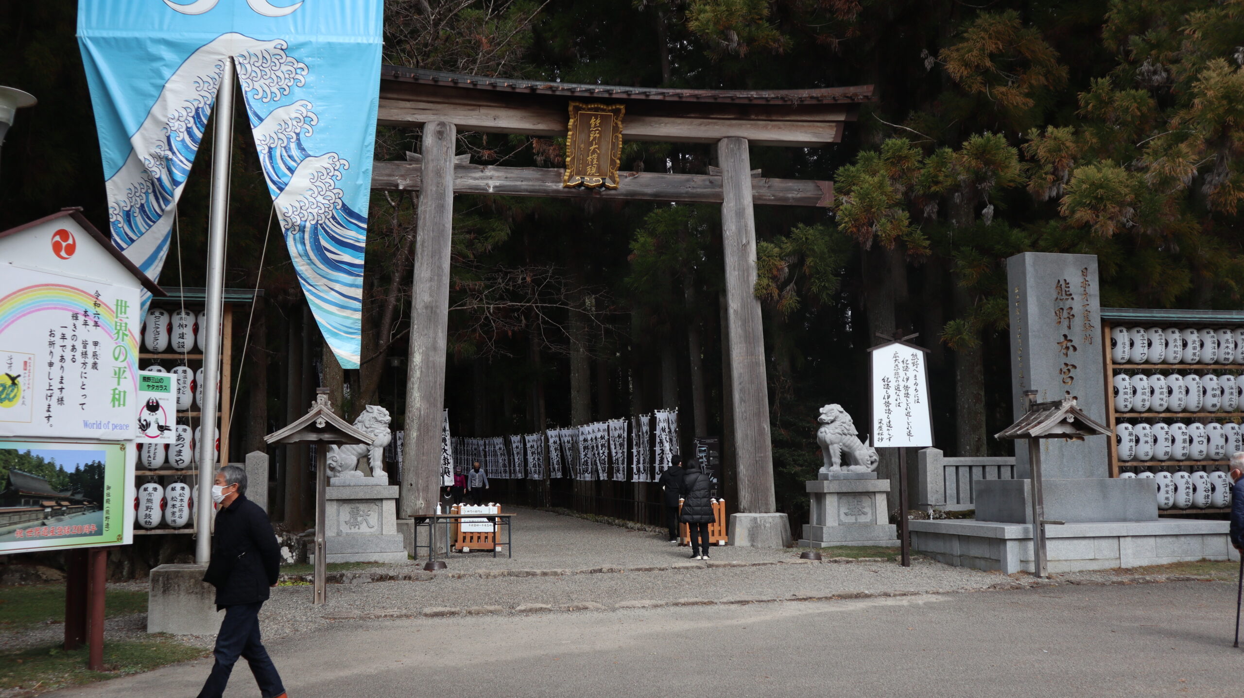
This is the main gate.
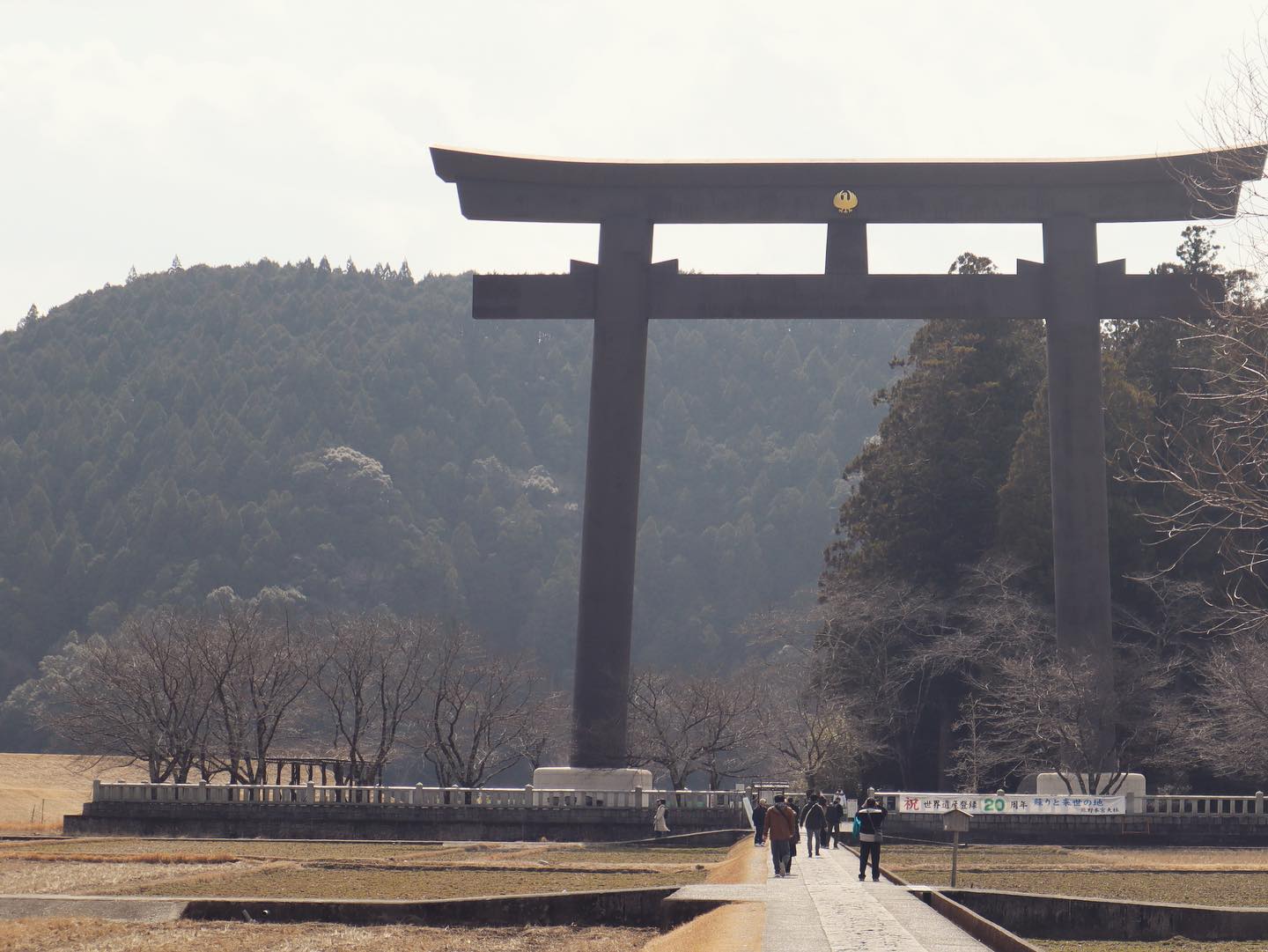
Speaking of Kumano Hongu, you can’t ignore the Japan’s largest torii gate.
Seeing this made me realize that this trip is finally over.
Thank me for my hard work on the walking trip, which took a total of 28 hours, covered a distance of 66.7km, and gained an altitude of 4,606m.
Thoughts after walking
As I wrote at the beginning, I viewed this trip from the perspective of tracing the path established by merchants.
What were the merchants and entrepreneurs of the distant past thinking and how did they make a living?
I don’t think there are many hikers who walk with that perspective in mind, but once I’ve finished walking, I feel like Kumano Kodo/Kohechi route taught me the basics of business.
The basics of business are: 1) Purchase something, 2) Find someone who is likely to buy it at a high price, and 3) Deliver it to that person.
It may be very simple, but the Kumano Kodo/kohechi route embodies exactly that.
If the buyer is in a town 70km away, you can create the shortest route and walk there.
The many teahouses and inns along the route were the infrastructure that supported these merchants, and I was able to understand that the presence of merchants allowed the villages along the way to prosper.
Therefore, I would like to refer to the Kumano Kodo/Kohechi route as the “entrepreneur’s path.”
All businesspeople and entrepreneurs are encouraged to walk this entrepreneur’s path.
I’m sure you’ll learn something new.
Next time, I would like to walk along Nakahechi, one of the routes of Kumano Kodo.
If I were to go overseas, it would be the Camino de Santiago in Spain and France.
You can download the GPX file from here.

Comments